Discover the Best Ways to Select a US States Map for Your Project
Whether you’re building an interactive dashboard, crafting a printable poster, or designing a user-friendly navigation tool, picking the perfect US states map is essential. With so many styles, formats, and customization options available, the choice can feel overwhelming. Below, we break down nine key considerations to help you make a confident, data‑driven decision that aligns with your project goals and audience needs.
1. Define Your Map’s Purpose
Start by asking yourself: Is this map meant for data visualization, navigation, or educational purposes? A heat‑map for demographic trends differs from a clickable map for a travel website. Clarifying the purpose early will guide decisions about interactivity, color schemes, and the level of detail you’ll need.
2. Select the Ideal Map Format
Do you need a vector SVG for scalable, high‑resolution output, or a raster PNG for quick loading on low‑bandwidth sites? SVGs allow smooth zooming and editing, whereas PNGs are easier to cache. Consider the platform: web, print, or mobile apps each have different format requirements.
3. Choose a Map Projection That Works
Common projections include Albers, Lambert Conformal Conic, and Mercator. Each distorts the earth differently. For U.S. state maps, Albers is popular because it preserves area relationships. If you’re highlighting coastal features, a Lambert Conformal Conic might be more appropriate.
4. Decide on Data Granularity
Will you display state‑level data or dive into county or ZIP code details? A high‑granularity map can be stunning but may overwhelm casual viewers. Use drill‑down features or layered data to balance clarity with depth.
5. Pick a Color Scheme That Enhances Readability
Color isn’t just aesthetic; it conveys meaning. Use perceptually uniform color palettes (e.g., ColorBrewer’s sequential or diverging schemes) to avoid misinterpretation. For accessibility, ensure sufficient contrast for color‑blind users and test with tools like WebAIM’s Contrast Checker.
6. Incorporate Interactivity Wisely
Hover tooltips, clickable states, and zoom controls can transform a static map into an engaging experience. However, too many interactive layers can slow performance and confuse users. Prioritize the most valuable interactions and keep the UI intuitive.
7. Match the Map’s Style to Your Brand
Do you prefer a clean, minimalist look or a vibrant, illustrative design? Consistency with your brand’s visual language—fonts, icons, and color palettes—creates a cohesive user experience. If your brand is tech‑savvy, a flat design may resonate; for heritage sites, a hand‑drawn aesthetic can add charm.
8. Optimize for Performance and SEO
Large map files can hinder page load times and SEO rankings. Compress vector files, use sprite sheets for multiple states, and lazy‑load interactive elements. Additionally, include alt text and JSON‑LD structured data for each state to help search engines index your content.
9. Test Across Devices and Browsers
Cross‑platform compatibility is non‑negotiable. Verify that your map renders correctly on desktop, tablet, and mobile, and across Chrome, Safari, Edge, and Firefox. Responsive design frameworks or media queries can ensure the map scales gracefully without distortion.
USA States Map | List Of U.S. States | U.S. Map

USA States Map | List of U.S. States | U.S. Map
Map Of The United States With States Labeled Printable Printable Maps
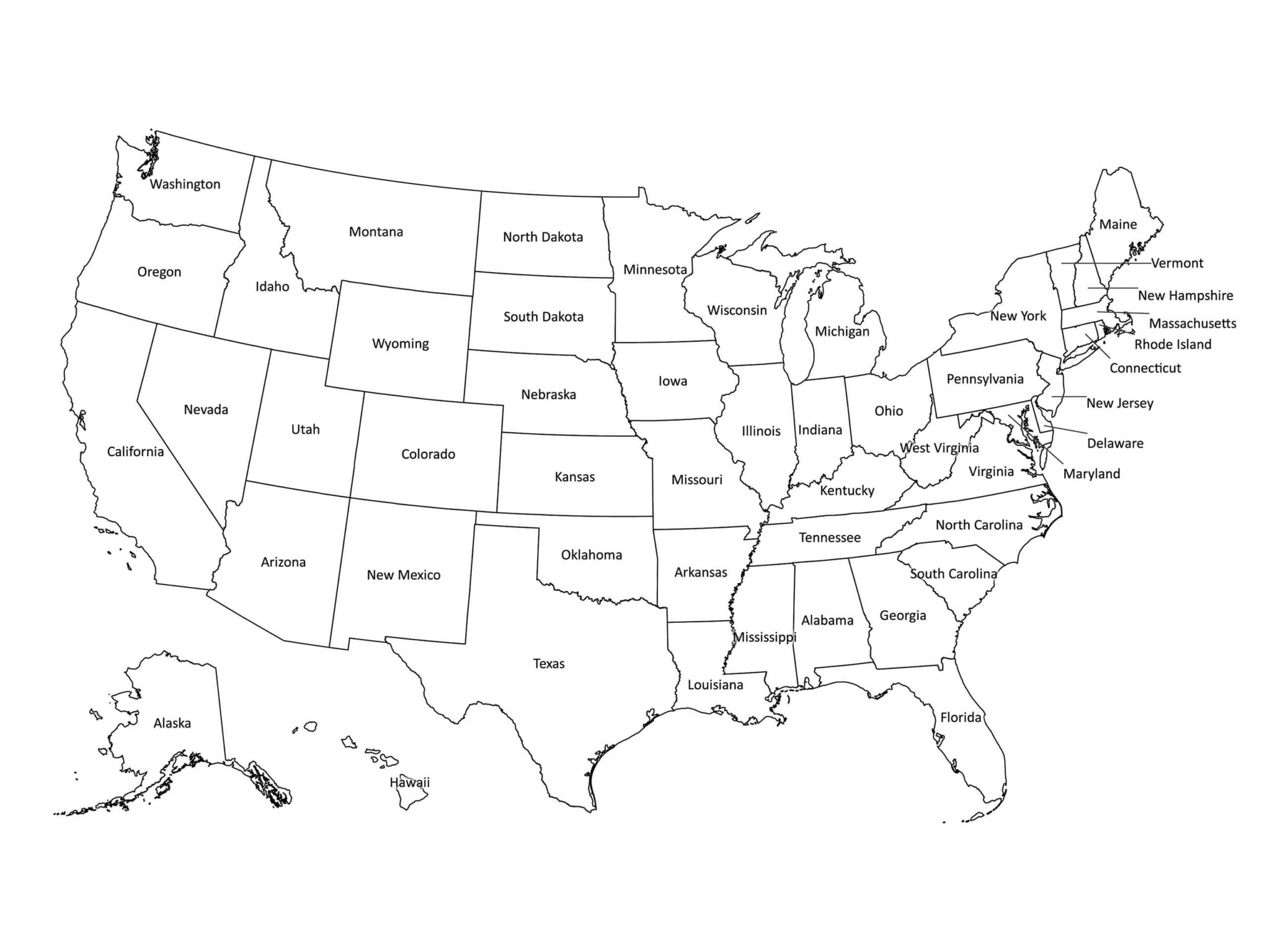
Map Of The United States With States Labeled Printable Printable Maps ...
Download Free U.S. Map That Uses Extended Colors On ZeeMaps

Download Free U.S. Map That Uses Extended Colors on ZeeMaps
US States Map - US Maps
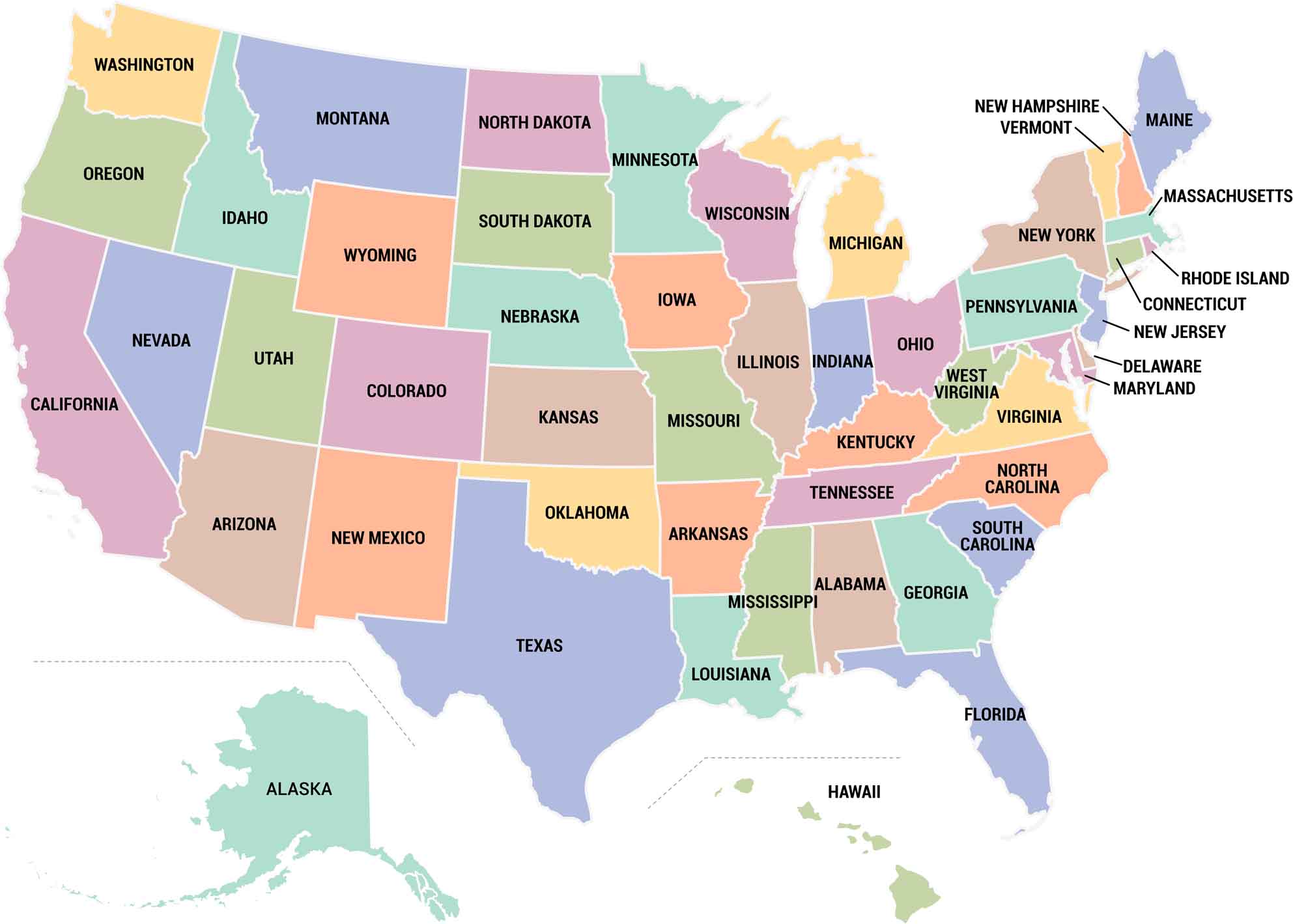
US States Map - US Maps
Us Map With States Download
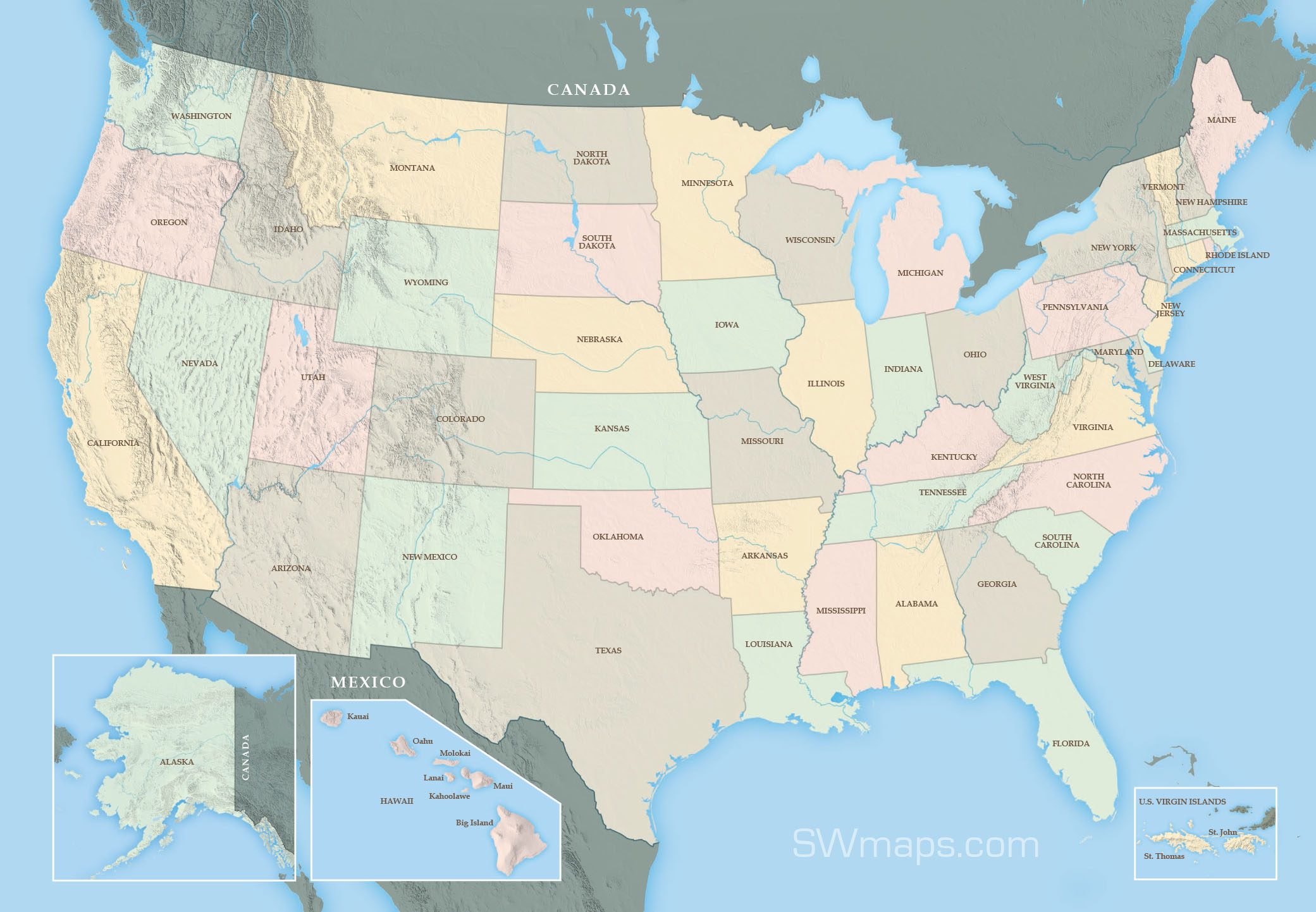
Us Map With States Download
United States Map With Names: Labeled States Guide

United States Map with Names: Labeled States Guide
Download U S A Mapwith Selected States Highlighted | Wallpapers.com

Download U S A Mapwith Selected States Highlighted | Wallpapers.com
US Maps - GIS Geography

US Maps - GIS Geography
Printable Map Of The United States For Kids

Printable Map of the United States For Kids
Political Map Of USA (Colored State Map) | Mappr

Political Map of USA (Colored State Map) | Mappr
Visited States Map - Get A Clickable Interactive US Map
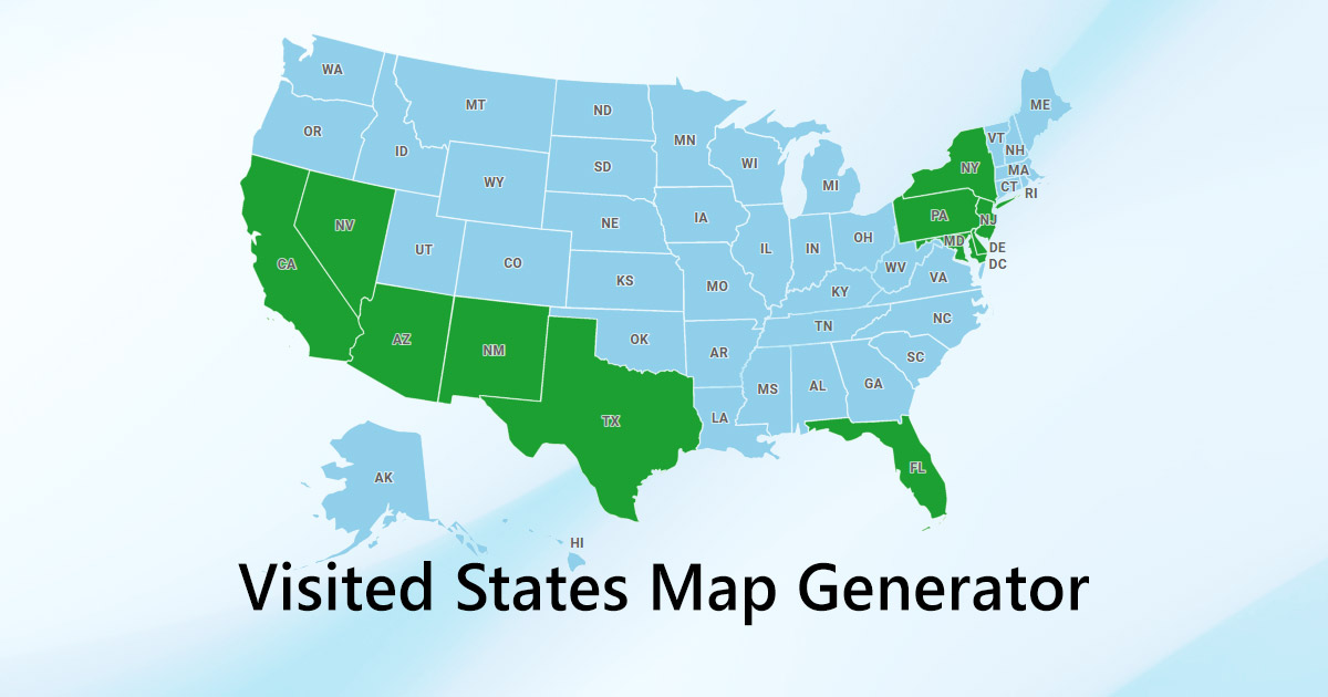
Visited States Map - Get A Clickable Interactive US Map
Map Of United States

Map of United States
Map Of US States - List Of States Of The United States - Mapsius.com
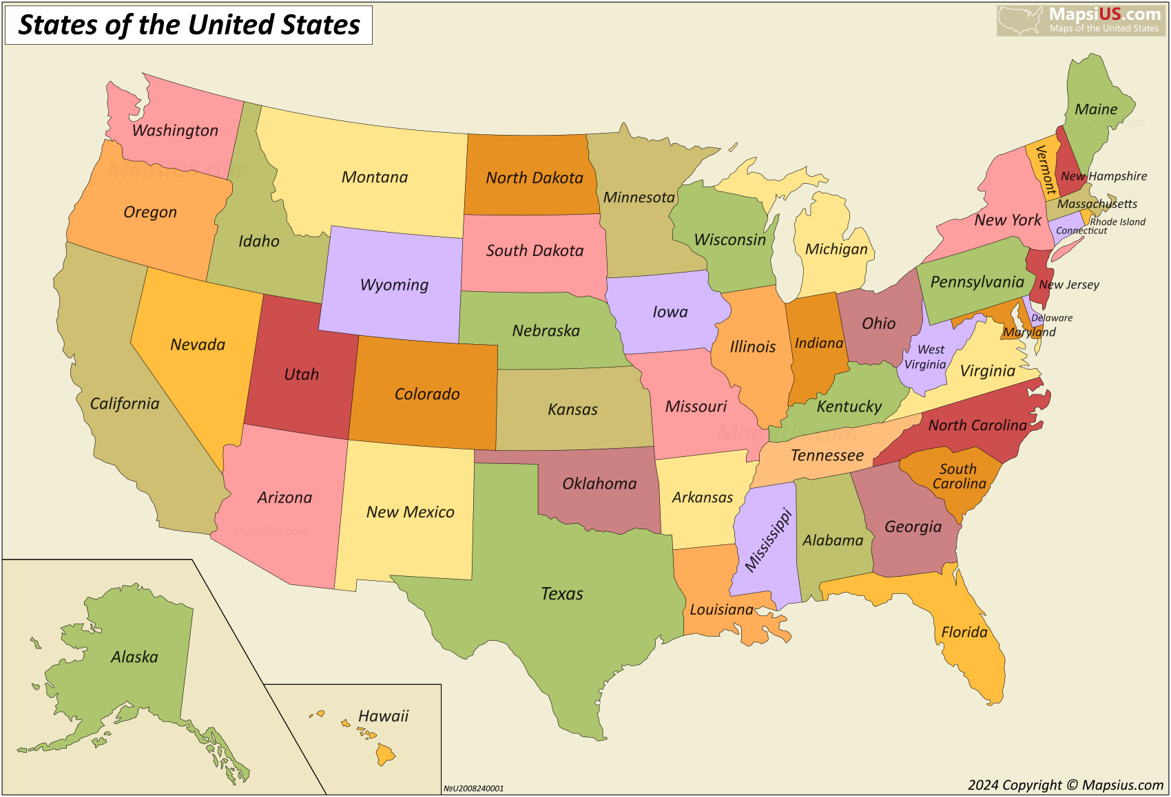
Map of US States - List of states of the United States - Mapsius.com
USA Map With States And Capitals Printable
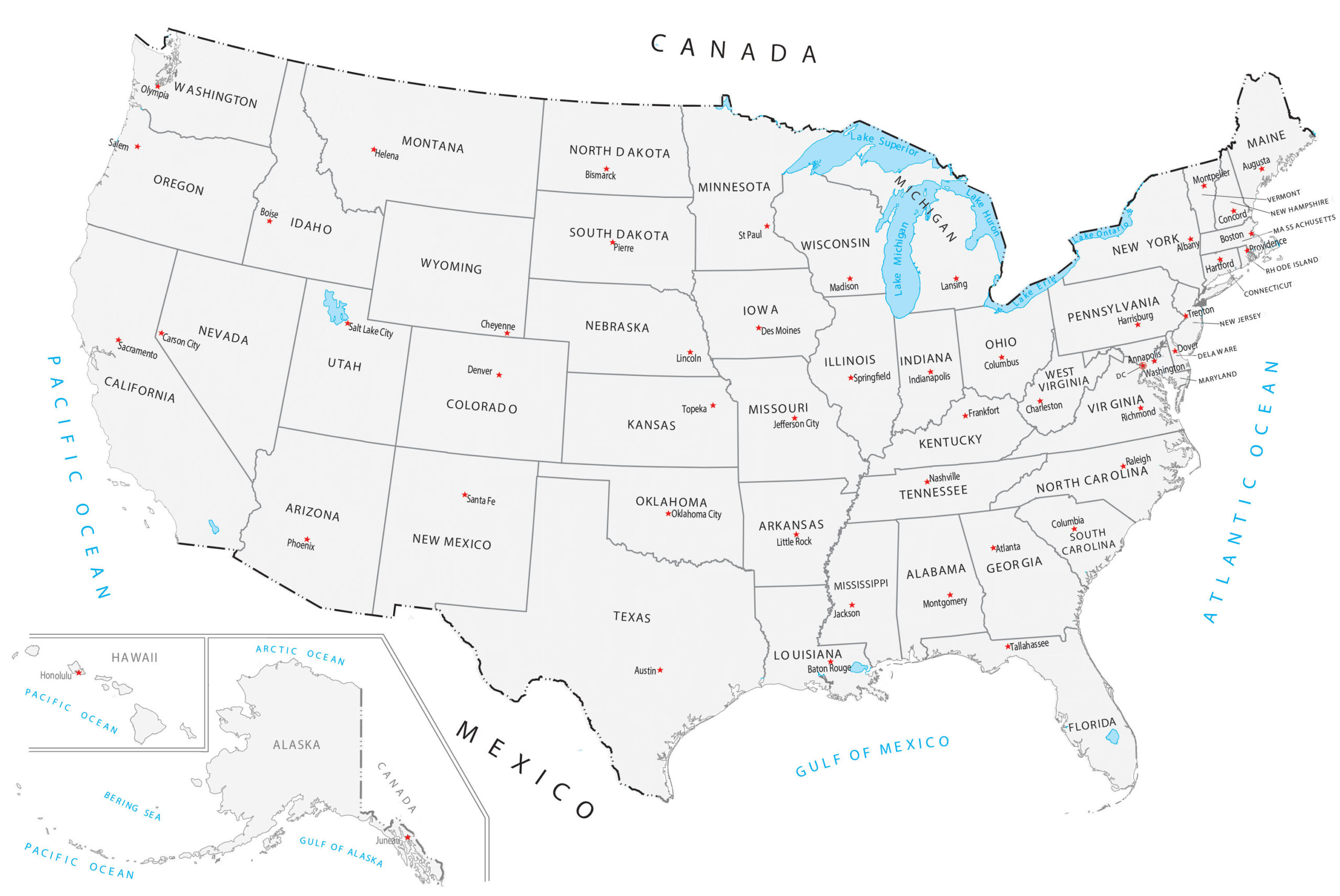
USA Map With States and Capitals Printable
Printable US Maps | Blank, With State Names, And Capitals
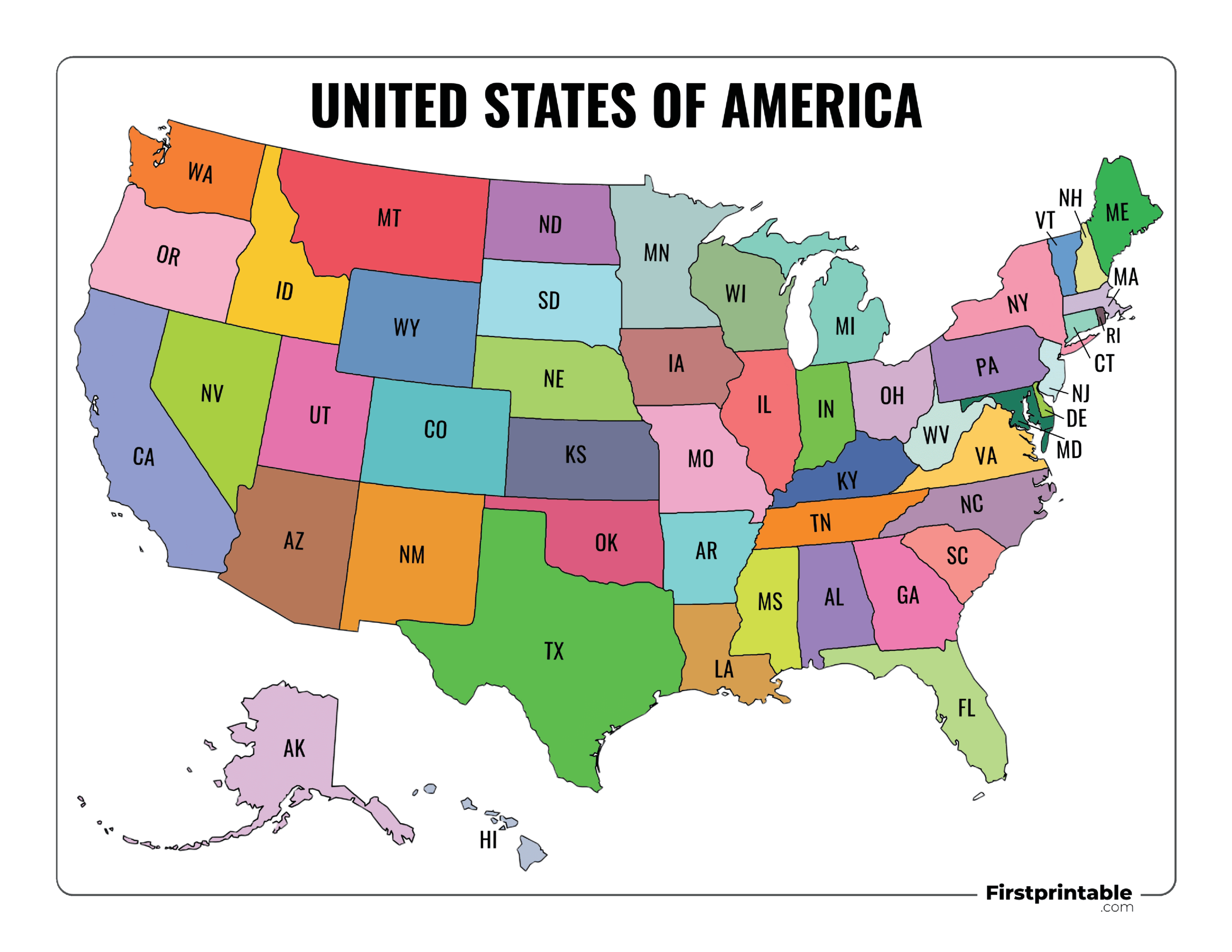
Printable US Maps | Blank, With State Names, And Capitals
Us Map With States Labeled Printable — Gridgrab

us map with states labeled printable — Gridgrab
Select Your State - United States Map Gray PNG Transparent With Clear
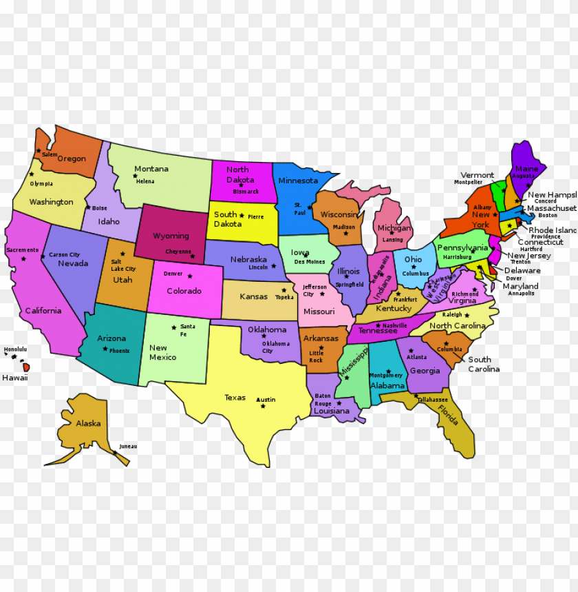
Select Your State - United States Map Gray PNG Transparent With Clear ...
Political Map Of USA With States
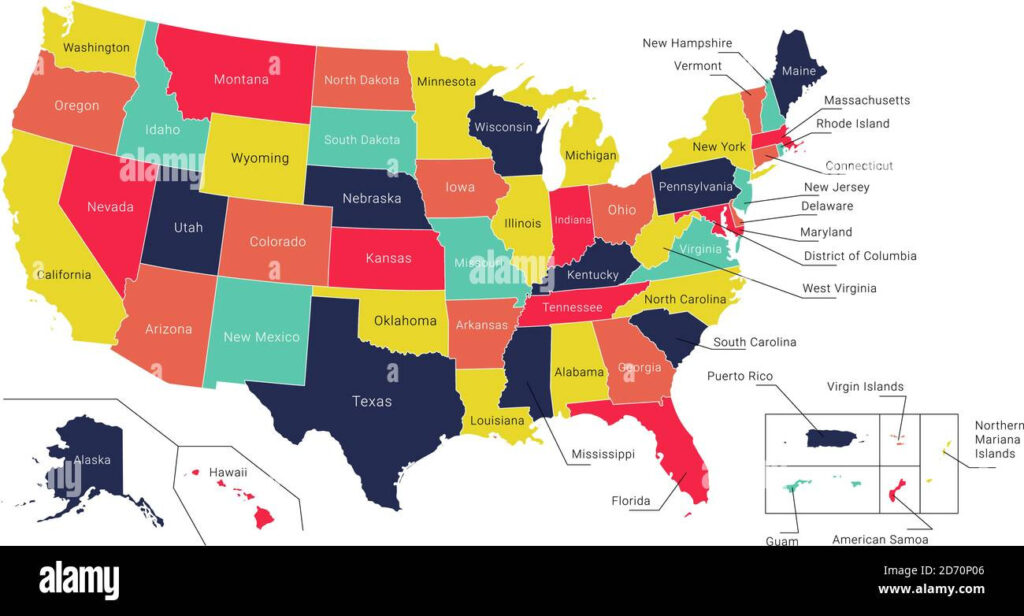
Political Map of USA with States
Usa States Map List Of Us States Us Map Download US State Outlines Map

Usa States Map List Of Us States Us Map Download US State Outlines Map
Interactive Usa Map Clickable Statescities Teacher Created Resources
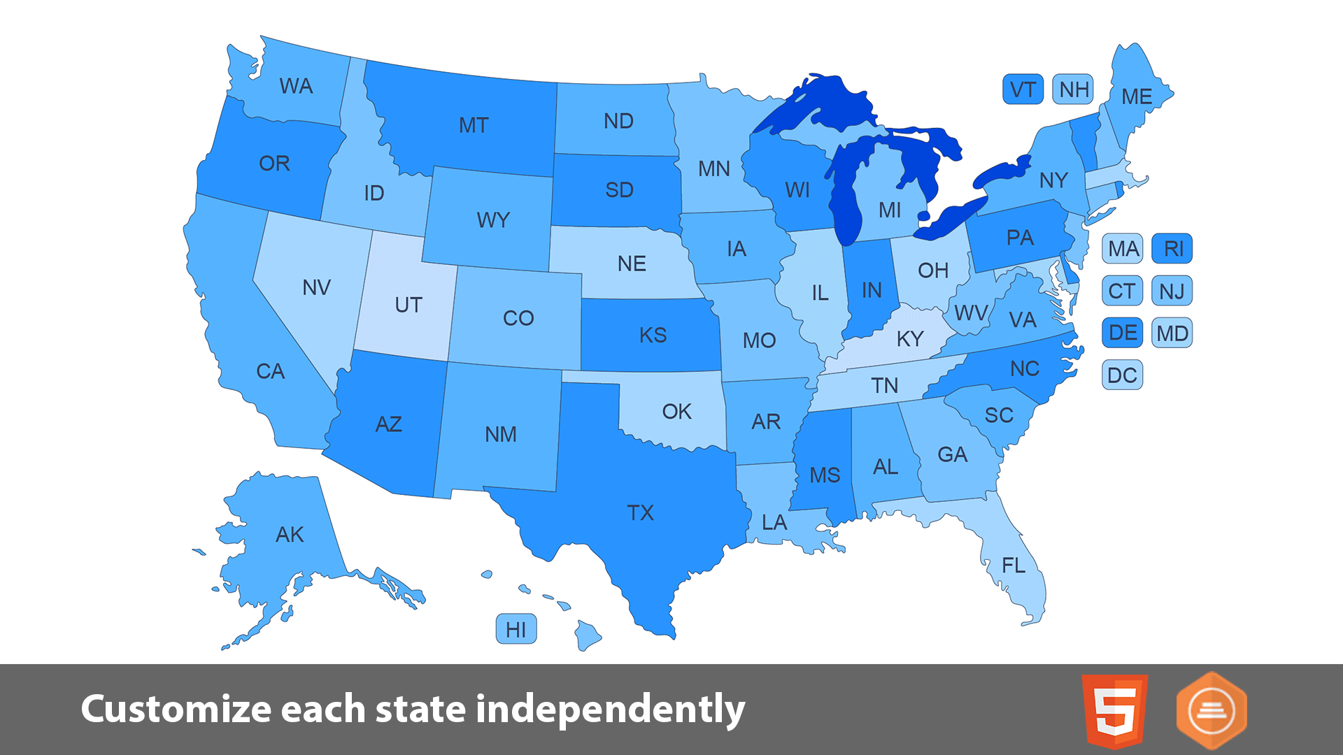
Interactive Usa Map Clickable Statescities Teacher Created Resources
USA Map With States - Printable, Labeled & Free PDF

USA Map with States - Printable, Labeled & Free PDF
That The United States Map States Names
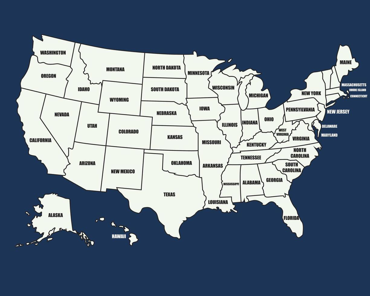
That The United States Map States Names
United States Map With States – Political USA Map [PDF] - Printable

United States Map with States – Political USA Map [PDF] - Printable ...
50 States Map With Cities/interactive Map Of Usa States
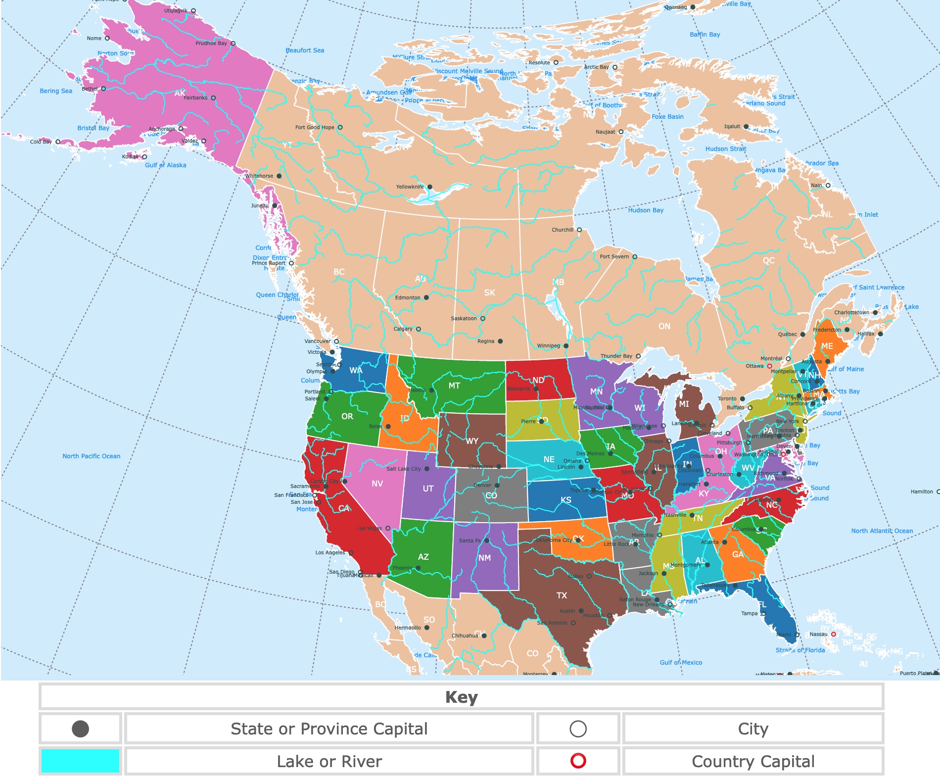
50 States Map With Cities/interactive Map Of Usa States
Political Map Of The United States

Political Map Of The United States
Free Printable USA Map: Download & Print Now! - Printables For Everyone

Free Printable USA Map: Download & Print Now! - Printables for Everyone
United States Map With Names

United States Map With Names
USA Political Map. Color Vector Map With State Borders And Capitals
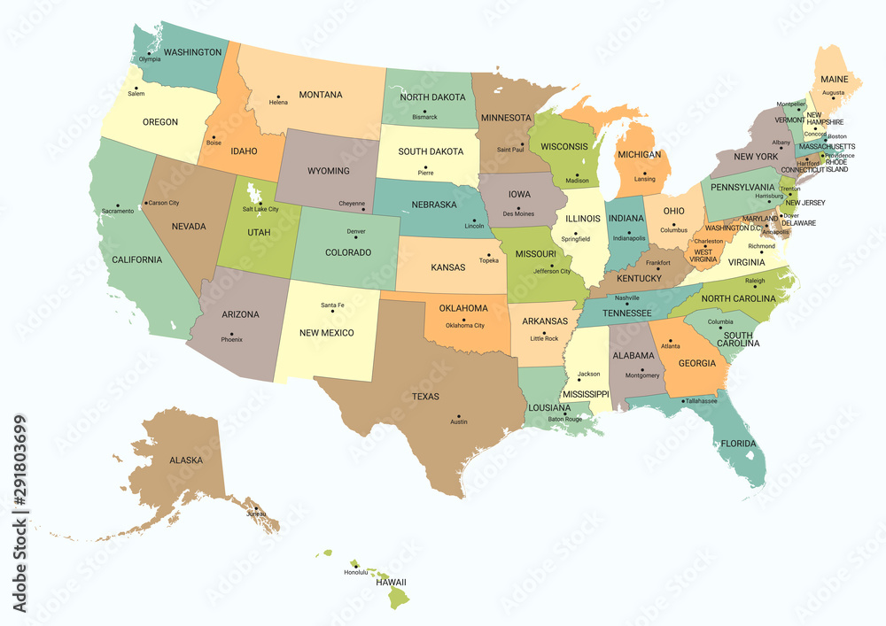
USA political map. Color vector map with state borders and capitals ...
United States Printable Map USA Blank Printable Clip Art Maps

United States Printable Map USA Blank Printable Clip Art Maps
Free Online Interactive Map Of USA | Printable Map Of USA
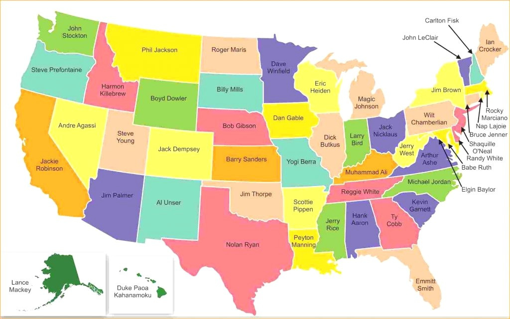
Free Online Interactive Map Of USA | Printable Map Of USA
