US States Political Map: State-by-State Breakdown for 2024 Elections
Understanding the political climate across the United States requires a granular look at each state’s historical voting patterns, demographic shifts, and key electoral battlegrounds. This article delves into the 2024 political landscape, offering an overview of the 50 states and how they align politically. Whether you’re a campaign strategist, a data analyst, or simply a civically engaged citizen, this comprehensive breakdown will provide a clear view of where power is concentrated and where it’s poised to shift.
1. Alabama – A Republican Stronghold
Alabama remains a bastion for the Republican Party, consistently delivering majorities in both presidential and congressional races. Its rural electorate, coupled with a high proportion of evangelical voters, sustains GOP dominance. Though demographic changes hint at gradual diversification, the current political alignment still heavily favors Republican candidates in statewide elections.
2. Alaska – Emerging Swing State
Alaska’s political landscape has grown increasingly unpredictable. While traditionally leaning Republican, the state has seen growing support for progressive policies, especially in urban centers like Anchorage. The 2024 election may see Alaska shift toward a more balanced, competitive environment as independent and moderate voters gain influence.
3. Arizona – A Critical Battleground
Arizona’s demographic shift, particularly the influx of Latino voters in the Phoenix metropolitan area, has transformed it from a Republican safe state to a pivotal swing state. Recent election cycles have shown tight races, and the 2024 forecast predicts heightened competition, making Arizona essential for both parties’ national strategies.
4. Arkansas – Deeply Republican
Arkansas has solidified its position as a Republican enclave. Conservative values dominate in rural regions, and statewide offices have consistently been held by GOP incumbents. While there are pockets of Democratic strength in urban centers, the overall state political climate remains firmly in favor of the Republican Party.
5. California – The Democratic Powerhouse
California’s diverse population and large urban centers create a strong Democratic base. The state’s progressive agenda on climate change, social justice, and technology innovation ensures that Democratic candidates hold the majority of seats in both houses of Congress. In 2024, California will likely remain a Democratic stronghold.
6. Colorado – A Shift Toward Progressivism
Colorado has transitioned from a Republican-leaning state to a competitive battleground. Rapid urbanization in Denver and increased environmental awareness have fostered a progressive electorate, making the state a key target for Democratic campaigns. GOP retention of certain rural districts, however, keeps Colorado’s political balance delicate.
7. Connecticut – Democratic Stronghold
Connecticut’s liberal demographic, including a sizable Jewish and African-American population, supports consistent Democratic victories in statewide contests. The state’s focus on healthcare reform, education, and labor rights reinforces its position as a Democratic stronghold in New England.
8. Delaware – Republican Gains Emerging
Delaware’s political environment has seen a rise in Republican influence, especially in suburban counties surrounding Wilmington. While traditionally Democratic, the state’s economic concerns and shifting voter priorities are creating a more competitive arena, potentially redefining Delaware’s political identity in 2024.
9. Florida – The Classic Swing State
Florida’s diverse electorate, encompassing retirees, immigrants, and a mix of urban and rural voters, has long made it a political bellwether. The 2024 election cycle will witness intense campaigning from both parties, with key issues like immigration, education, and the economy driving the state’s electoral outcome.
10. Georgia – A Democratic Surge in the South
Georgia’s transformation from a Republican stronghold to a Democratic-leaning state reflects demographic changes in metropolitan areas such as Atlanta. The 2020 elections set the stage for a Democratic surge, and 2024 will likely see continued growth of progressive influence, especially in suburban and urban districts.
Usa State Political Map
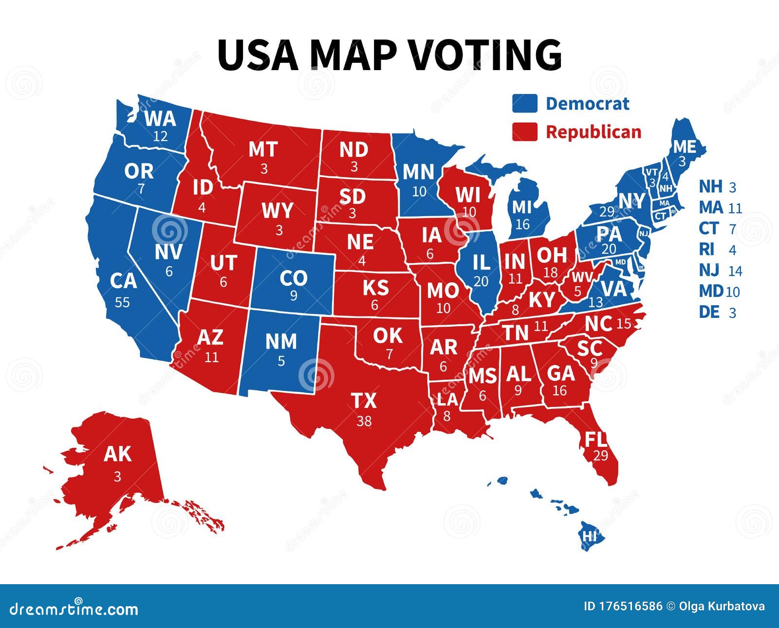
Usa State Political Map
United States Political Map Images
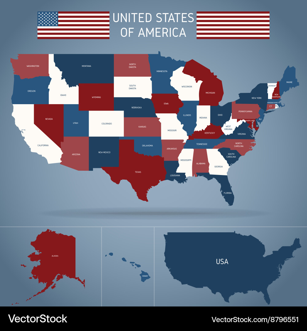
United States Political Map Images
United States Political Map
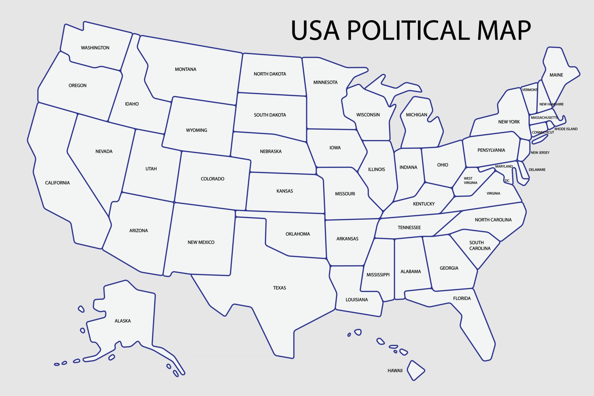
United States Political Map
Us Political Map Red Blue
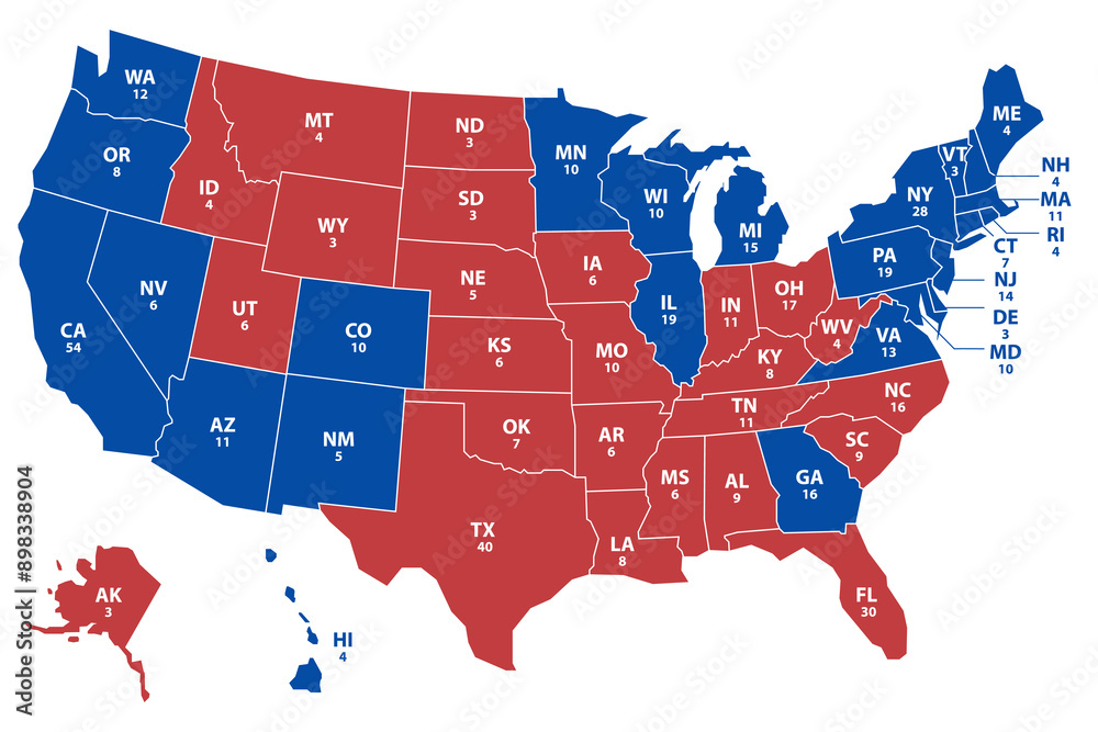
Us Political Map Red Blue
Usa Political Map Us Political Map America Political Map Political

Usa Political Map Us Political Map America Political Map Political
United States Political Map - State Borders

United States Political Map - State Borders
United States Political Map - State Borders
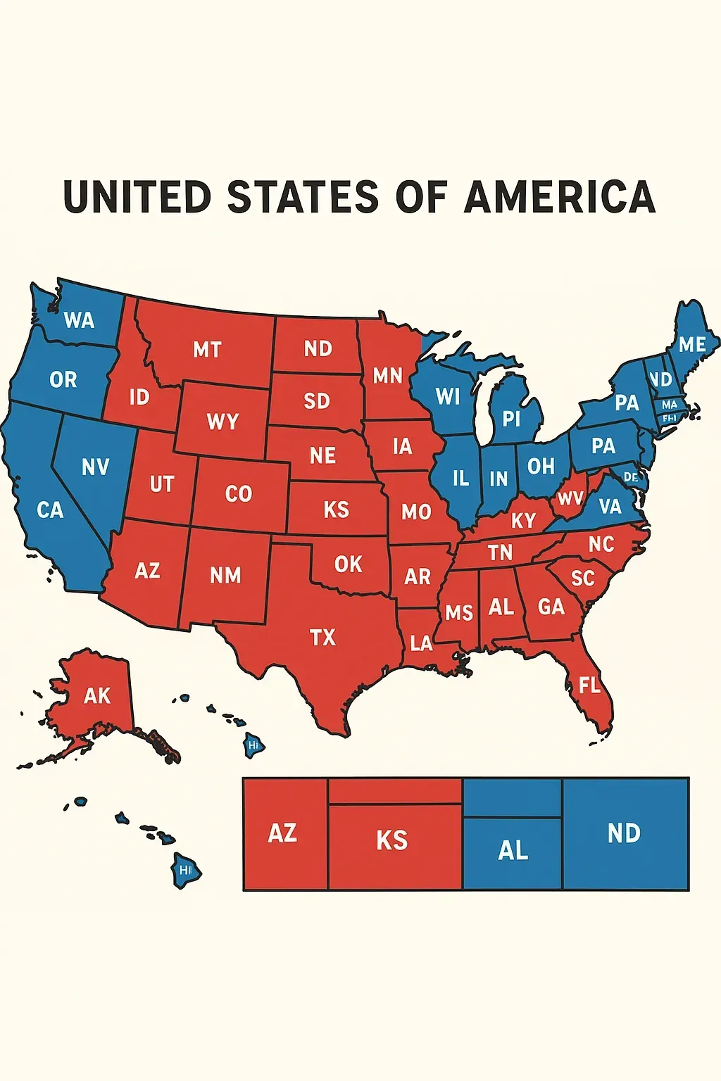
United States Political Map - State Borders
United States Political Map

United States Political Map
USA Political Map - United States Maps
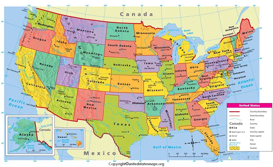
USA Political Map - United States Maps
US State Political Map 2267139 Vector Art At Vecteezy

US state political map 2267139 Vector Art at Vecteezy
Political United States Map , USA Political Map – IMUW
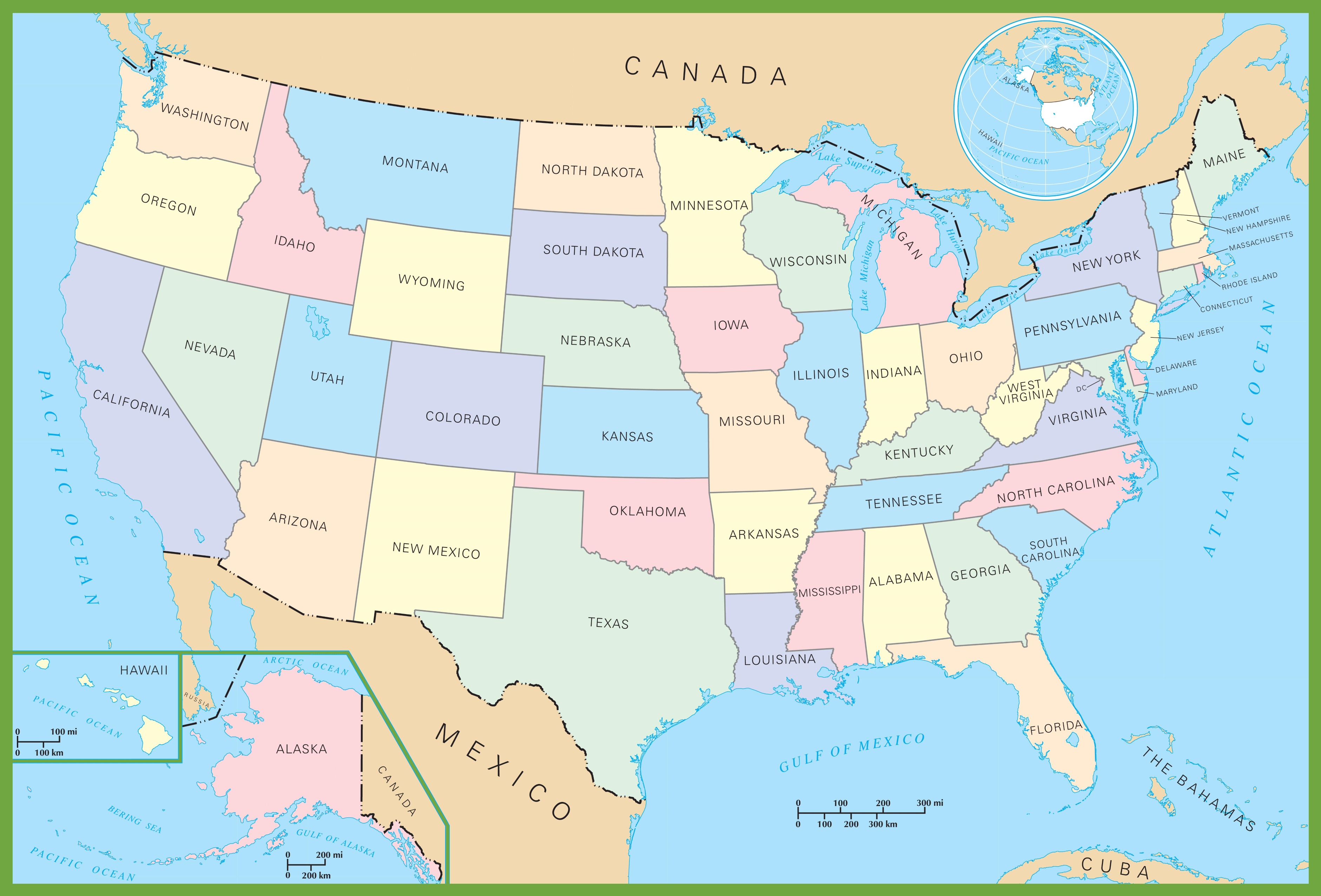
Political United States Map , USA political map – IMUW
American Political Map
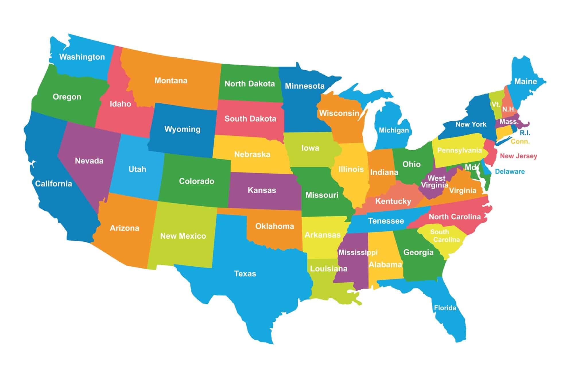
American Political Map
Primary Level: United States Political Map | Maps.com.com
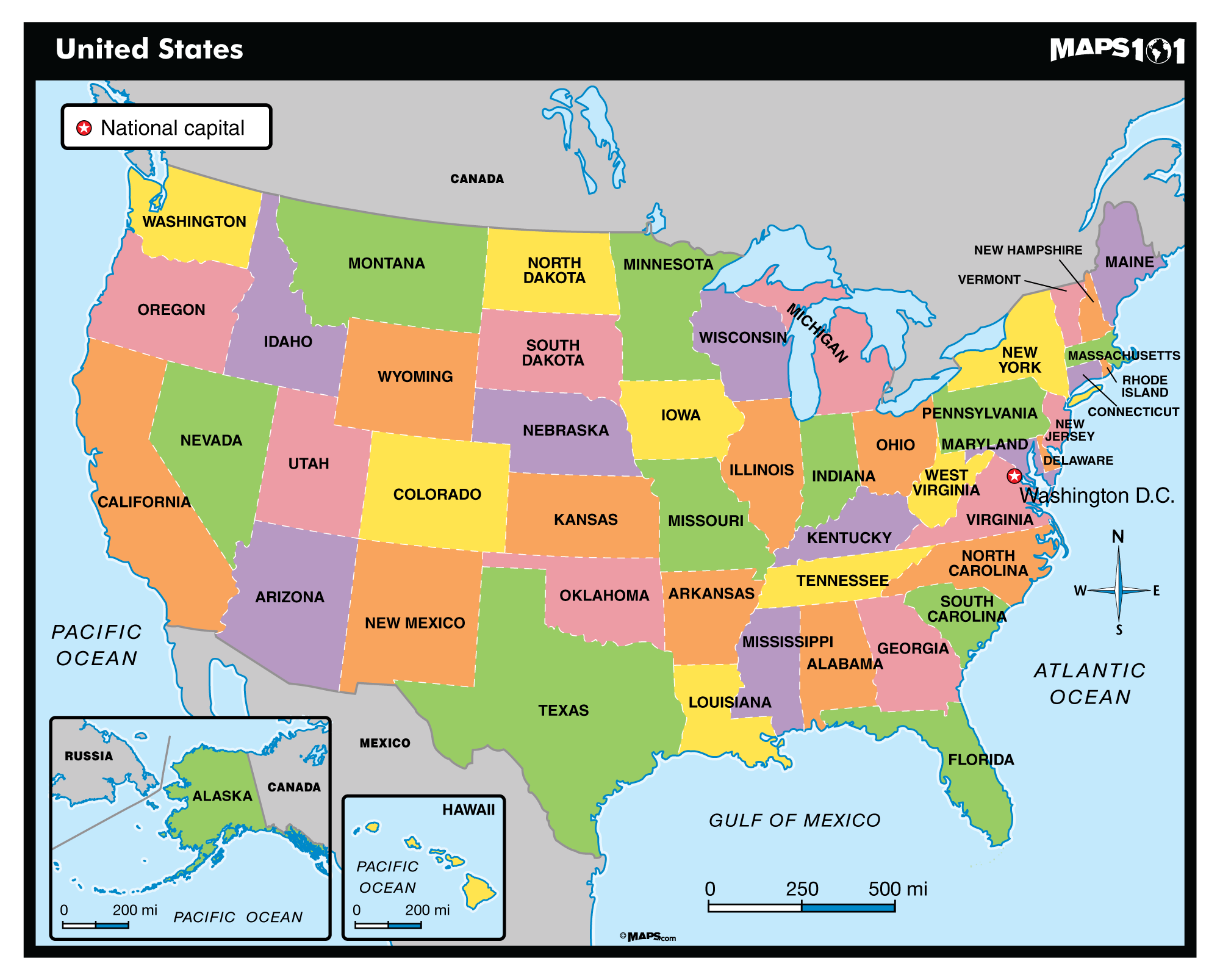
Primary Level: United States Political Map | Maps.com.com
United States Political Map - Guide Of The World
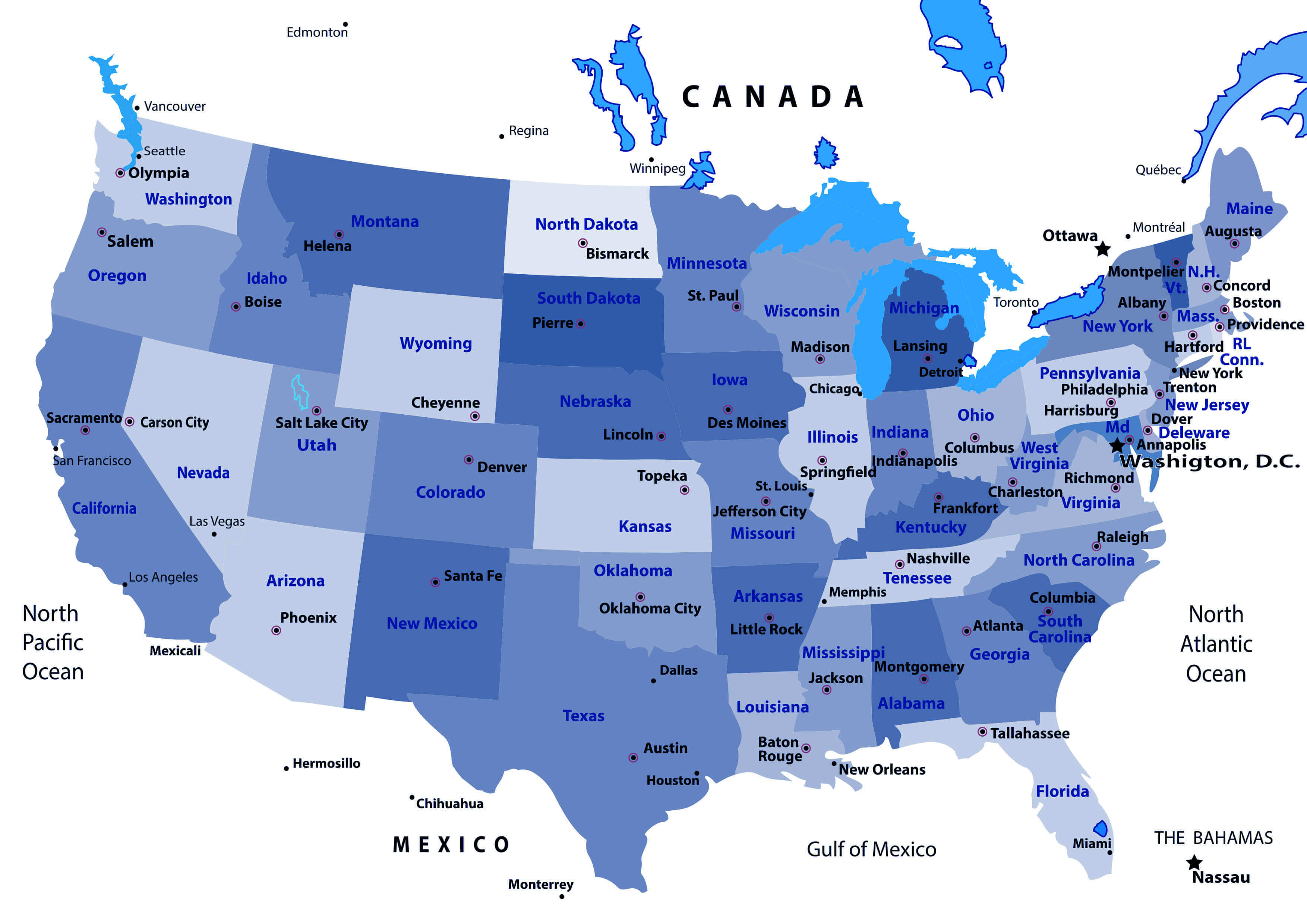
United States Political Map - Guide of the World
USA Map. Political Map Of The United States Of America. US Map With
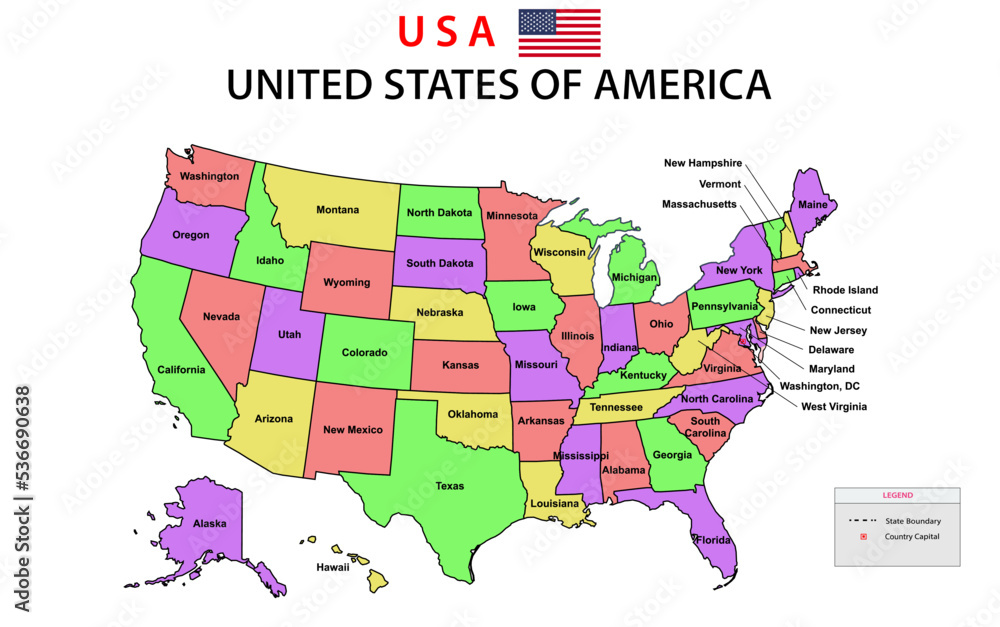
USA Map. Political map of the United States of America. US Map with ...
United States Usa Political Map

United States Usa Political Map
Us Political Map Printable
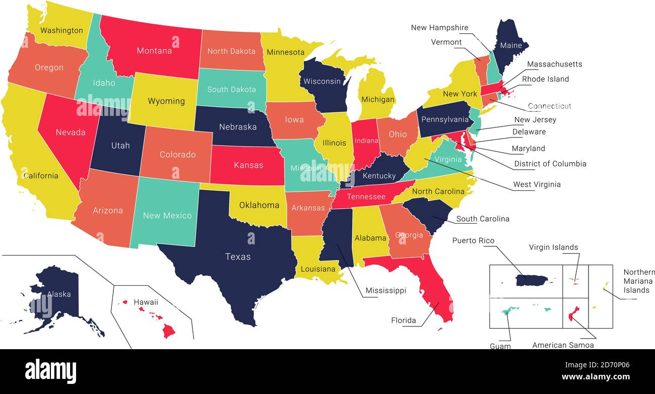
Us Political Map Printable
United States Political Map

United States Political Map
Large Detailed Political Map Of The United States The Usa 2560x2134

Large Detailed Political Map Of The United States The Usa 2560x2134
Large Detailed Political Map Of The United States The Usa 2560x2134

Large Detailed Political Map Of The United States The Usa 2560x2134
Us Map By Political Party
Us Map By Political Party
US Map Wallpapers - Wallpaper Cave
US Map Wallpapers - Wallpaper Cave
Usa Political Map Us Political Map America Political Map Political

Usa Political Map Us Political Map America Political Map Political
Political Map Of The US
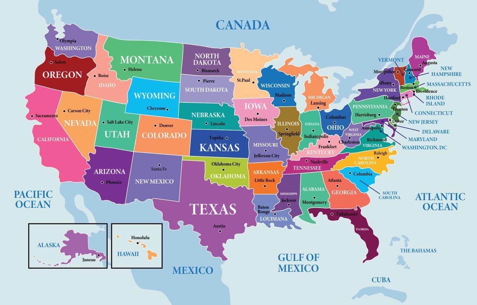
Political Map of the US
US Political Map | Printable Political Map Of US (PDF)
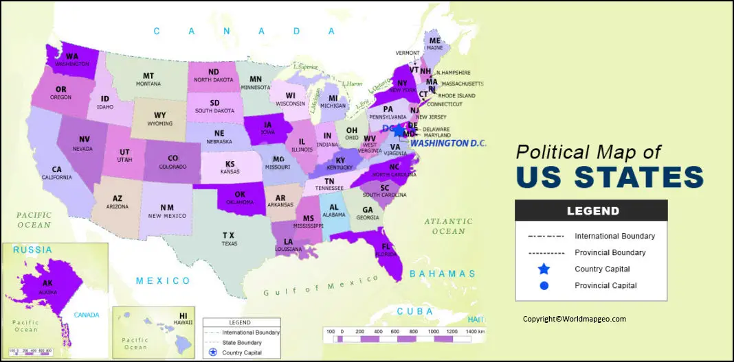
US Political Map | Printable Political Map of US (PDF)
United States Political Map - State Borders

United States Political Map - State Borders
Free Printable USA Map: Download & Print Now! - Printables For Everyone

Free Printable USA Map: Download & Print Now! - Printables for Everyone
Large Size Political Map Of The United States – OIZQOC

Large Size Political Map Of The United States – OIZQOC
Map Of USA
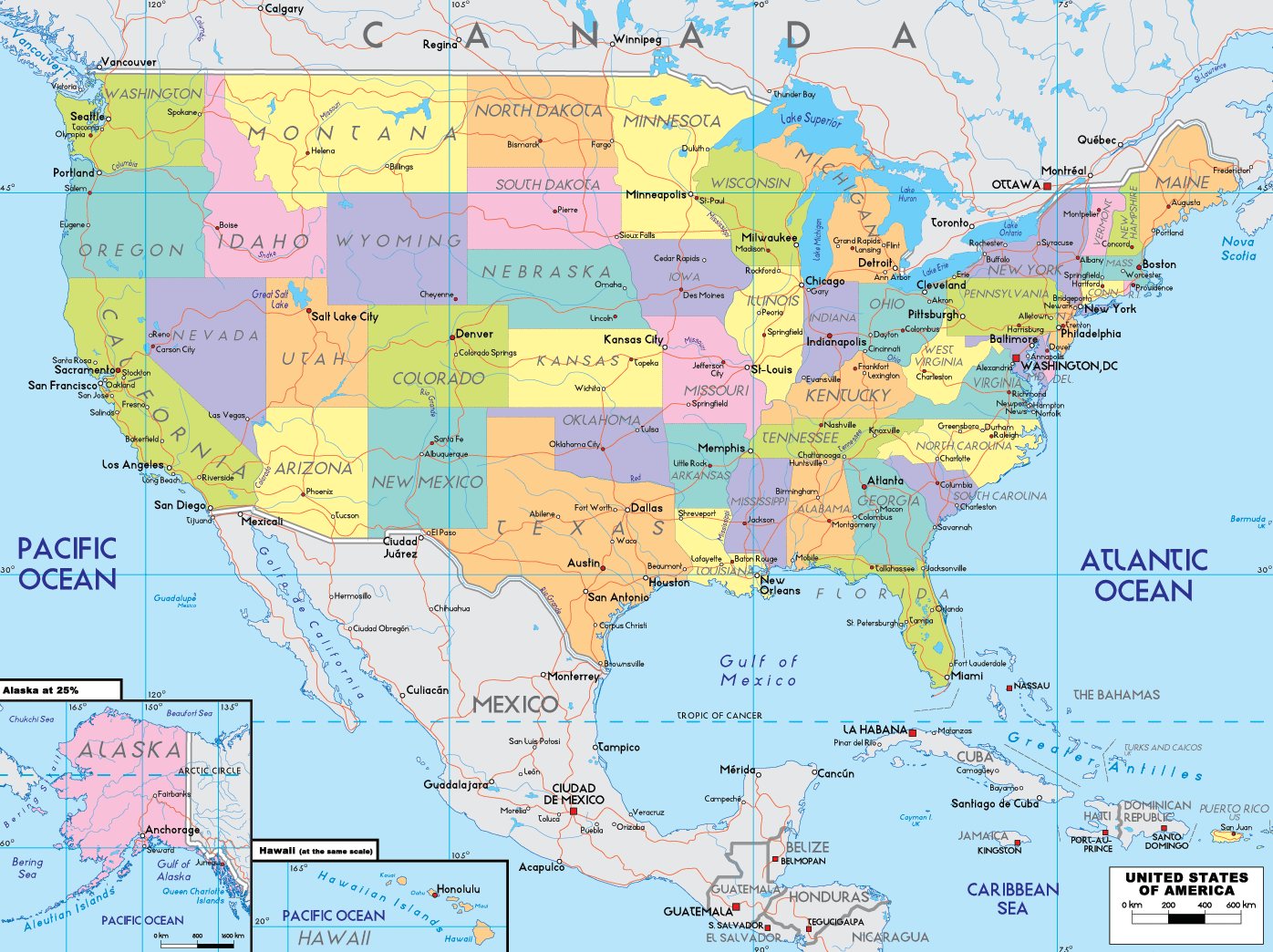
Map of USA
Large Detailed Political Map Of The United States The Usa
Large Detailed Political Map Of The United States The Usa
Political Map Of The United States

Political Map Of The United States
Us Political Map With Cities USA Political Map– I Love Maps

Us Political Map With Cities USA Political Map– I Love Maps
Political Map Of Usa
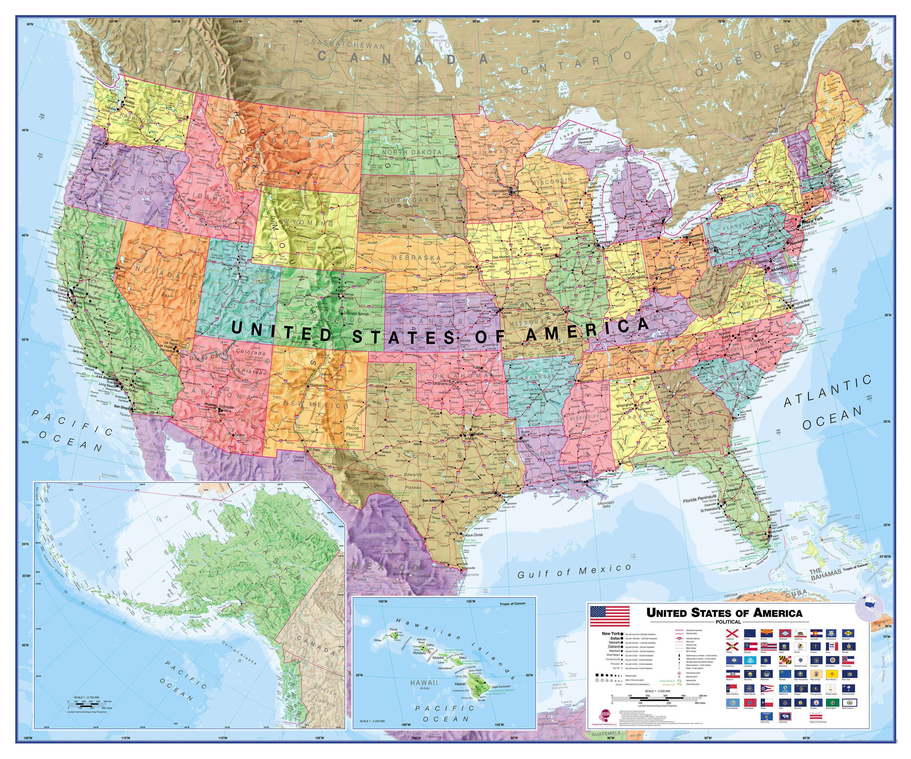
Political Map Of Usa
Political Map Of Usa Printable - Templates Printable Free
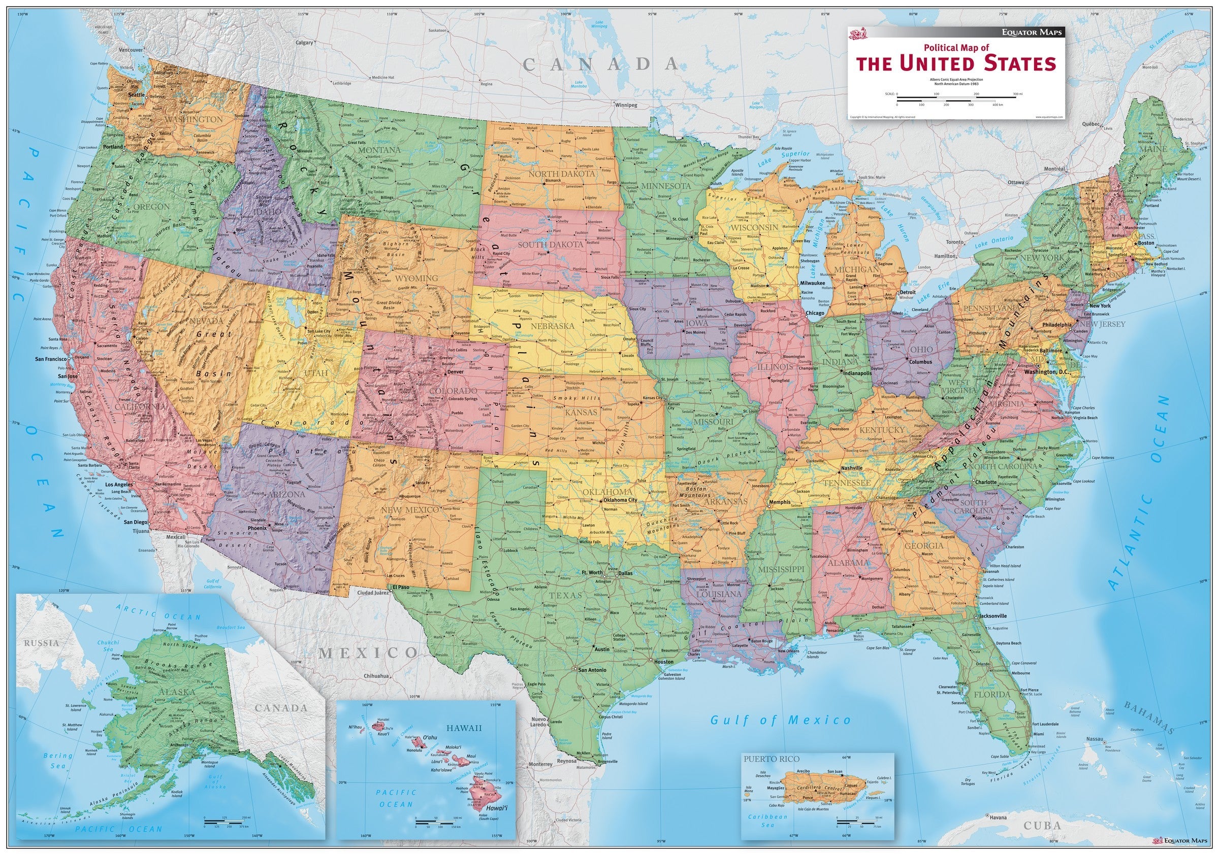
Political Map Of Usa Printable - Templates Printable Free
States And Capitals Chartunited States Political Map With Capitals

States And Capitals Chartunited States Political Map With Capitals
