How to Highlight US States on a Black-Toned Map: 9 Design Tips for Clarity and Accessibility
When creating a US states map in a striking black background, the key to readability lies in thoughtful contrast, color choice, and visual hierarchy. Whether you’re designing a poster, infographic, or interactive web map, these nine strategies will help you emphasize individual states while keeping the overall design clean, modern, and accessible.
1. Use Bold, Saturated Accent Colors
Contrast is everything on a black backdrop. Choose bold accent hues—such as electric blue, neon green, or bright orange—to pop against the darkness. Saturated colors not only attract the eye but also improve visibility for users with visual impairments or color blindness.
2. Apply Subtle Drop Shadows
Adding a slight drop shadow to highlighted states gives depth and separates them from the rest of the map. Use a 1–2 px shadow with low opacity (e.g., rgba(0,0,0,0.3)) to avoid overpowering the clean look while maintaining legibility.
3. Incorporate Transparent Borders
Thin, semi-transparent borders around highlighted states create a gentle framing effect. A 1 px border in white or a lighter gray (e.g., rgba(255,255,255,0.15)) helps the state stand out without breaking the monochrome aesthetic.
4. Use Hover States for Interactive Maps
If the map is interactive, implement hover or focus styles that change the state's color to a brighter variant or add a glowing outline. This dynamic feedback enhances user engagement and provides an intuitive way to identify regions on demand.
5. Combine Highlighting with Text Labels
Place concise state abbreviations or names within the highlighted area, using a contrasting font color such as white or a very light gray. Keep the font weight bold to ensure readability against the black background.
6. Opt for Minimalist Iconography
When indicating key points—like capitals or landmarks—use simple line icons in the same accent color used for the state highlight. This maintains visual consistency and keeps the map uncluttered.
7. Ensure Color Blind Accessibility
Test your color scheme with tools like Coblis or Color Oracle. Prefer color pairs that remain distinguishable for common types of color blindness, such as using blue against orange rather than red against green.
8. Layer with Transparency for Background Patterns
Adding a subtle, semi-transparent background pattern (e.g., a faint grid or texture) behind the entire map can enhance depth without distracting from highlighted states. Keep the pattern under 10% opacity to preserve focus on the map.
9. Maintain Consistent Scaling and Padding
Uniformly space each state and use consistent scaling for the entire map. This avoids visual distortion and ensures that highlighted states are proportionally accurate, making the map professional and trustworthy.
Colorful Map Of The United States Highlighting Different Regions And States

Colorful Map of the United States Highlighting Different Regions and States
The 50 States Map With Names On States Map Of Worldus Map With State

The 50 States Map With Names On States Map Of Worldus Map With State ...
Interactive Us Map Of States - Printable Map Of The US
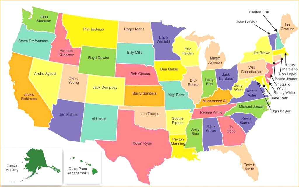
Interactive Us Map Of States - Printable Map Of The US
Interactive Map Of USA Highlight States

Interactive Map of USA Highlight States
Usa Map Highlighting Major States PowerPoint Presentation Ppt Template PDF

Usa Map Highlighting Major States PowerPoint Presentation Ppt Template PDF
Us State Map Highlight
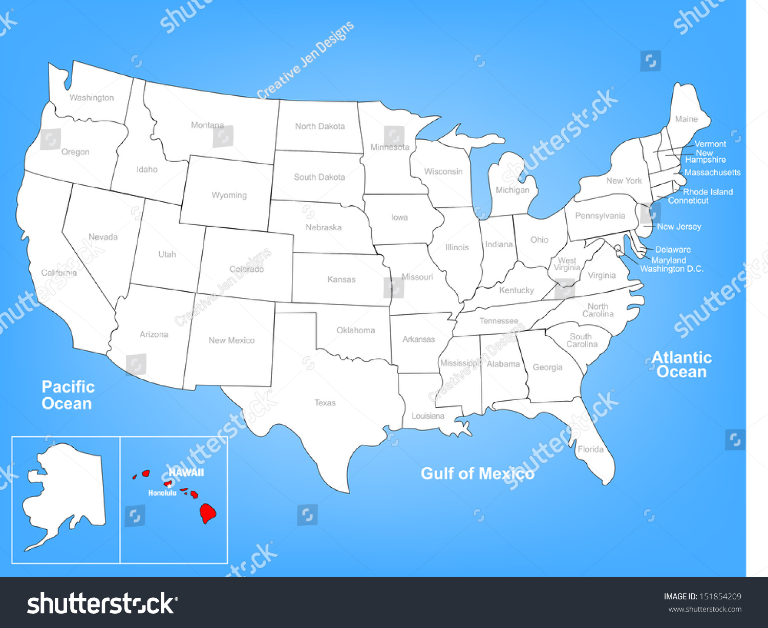
Us State Map Highlight
Us Map State Highlighter Draw A Map Of The U.S. Highlighting Major

Us Map State Highlighter Draw A Map Of The U.S. Highlighting Major
Detailed Map Of The United States Highlighting Each State With Borders
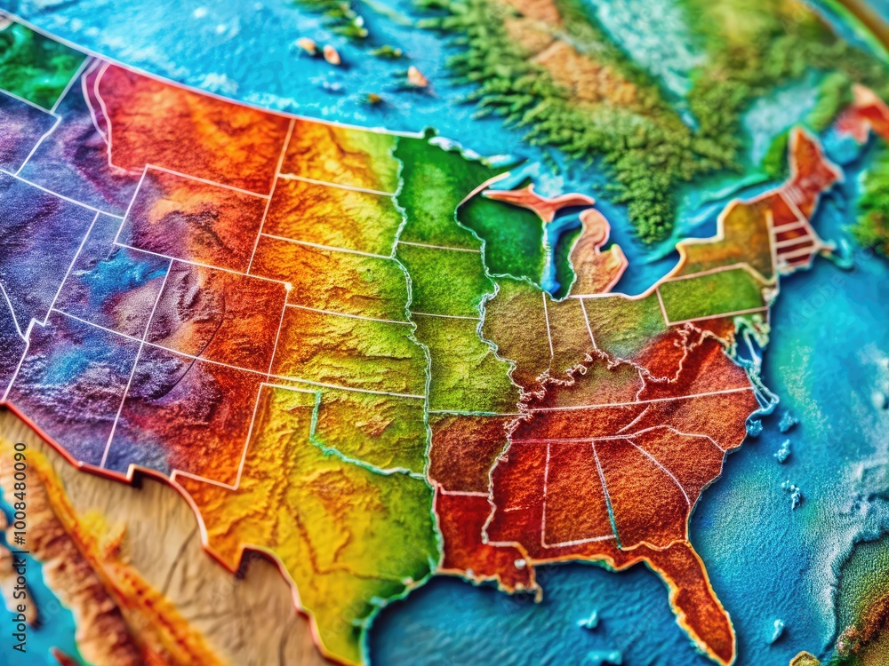
Detailed Map of the United States Highlighting Each State with Borders ...
Can Highlight Individual States Map Usa

Can Highlight Individual States Map Usa
Us Map State Highlighter

Us Map State Highlighter
Colorful Vector Map Of The United States Highlighting All States In

Colorful Vector Map of the United States Highlighting All States in ...
Interactive Map Of USA Highlight States
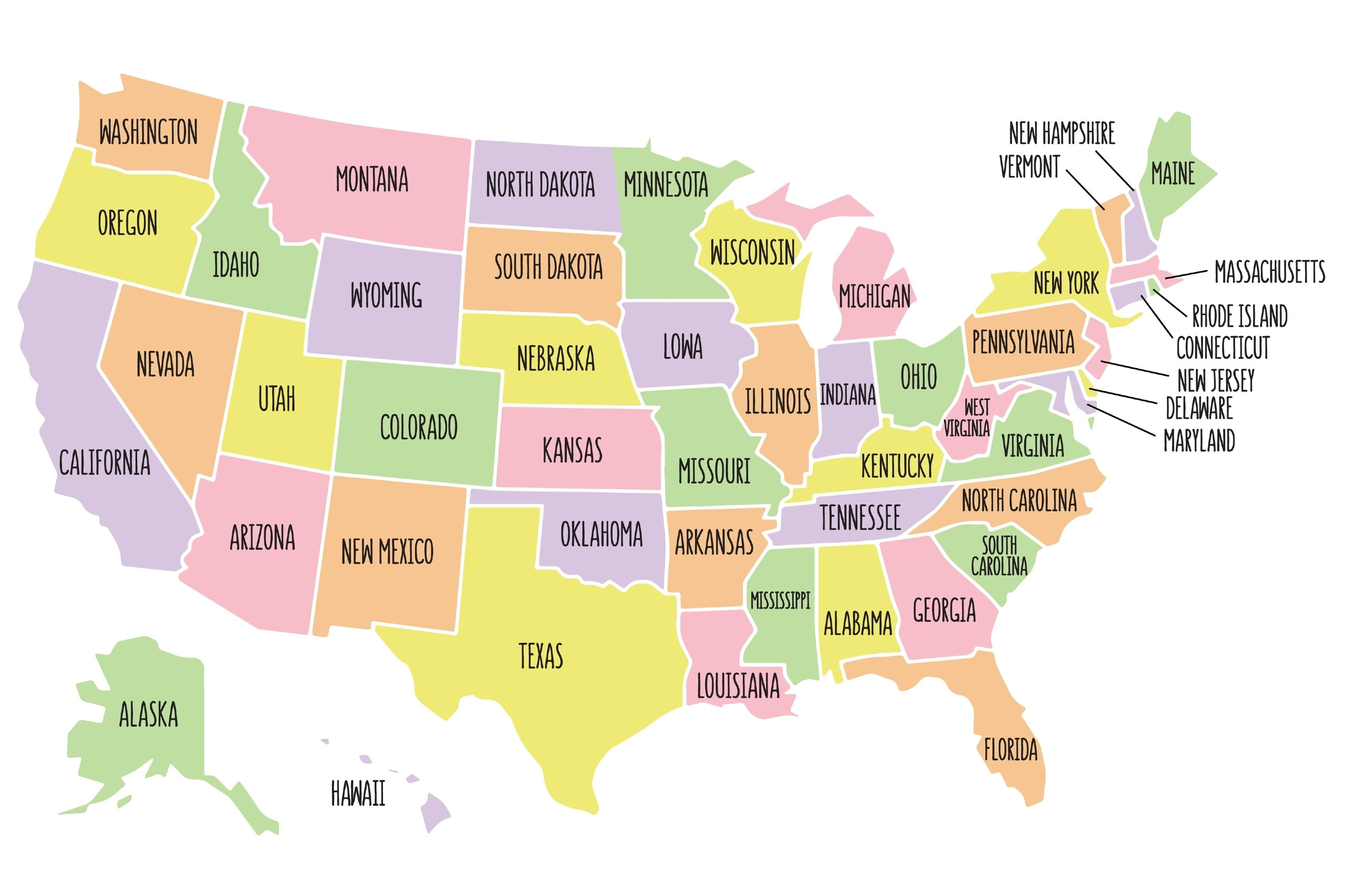
Interactive Map of USA Highlight States
Colorful Illustrated Map Of The United States Highlighting Each State's

Colorful Illustrated Map of the United States Highlighting Each State's ...
Colorful Illustrated Map Of The United States With State Boundaries
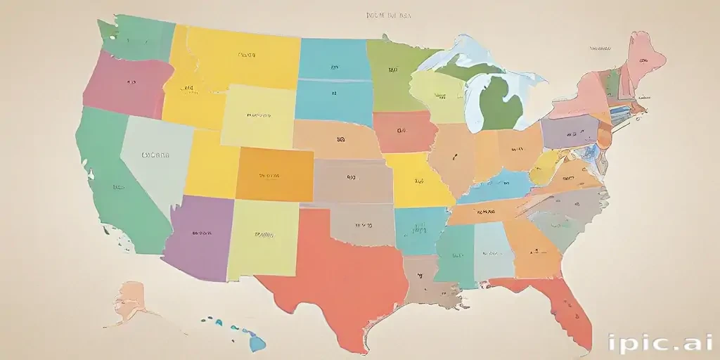
Colorful Illustrated Map of the United States with State Boundaries ...
3,014 Usa Map States And Capitals Stock Photos, High-Res Pictures, And

3,014 Usa Map States And Capitals Stock Photos, High-Res Pictures, and ...
Colorful Map Of The United States Highlighting Different States And Regions
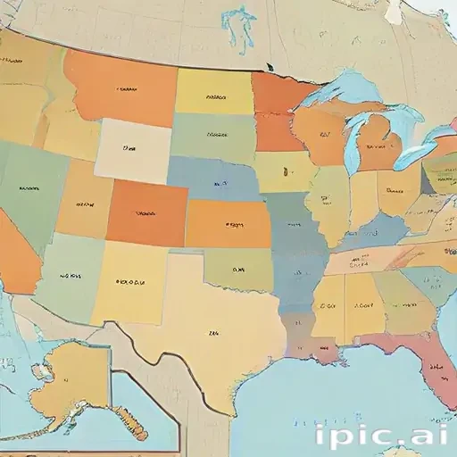
Colorful Map of the United States Highlighting Different States and Regions
Map Of United States

Map of United States
Colorful Map Of The United States Highlighting Each State's Unique Features

Colorful Map of the United States Highlighting Each State's Unique Features
Colorful Map Of The United States Highlighting Each State's Unique Features

Colorful Map of the United States Highlighting Each State's Unique Features
Colorful Illustrated Map Of The United States Highlighting Each State's
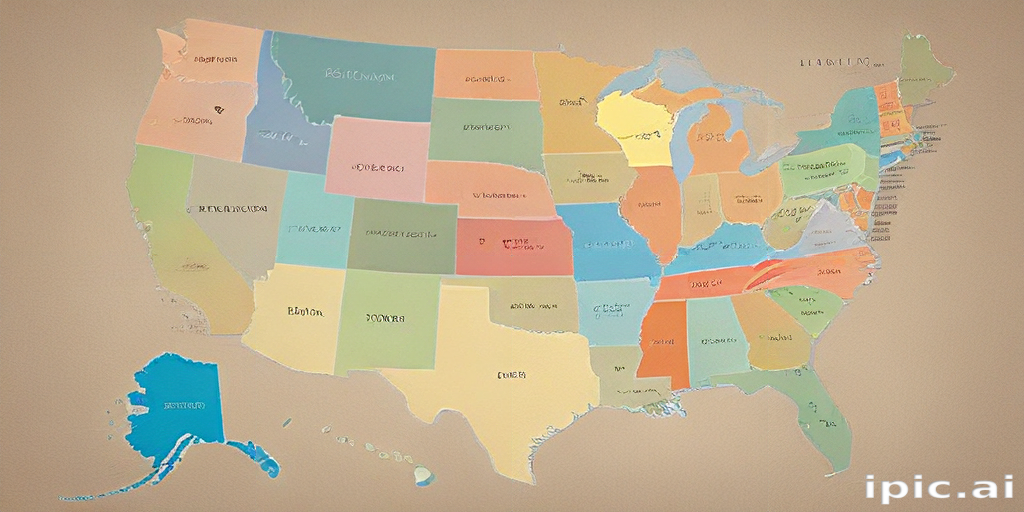
Colorful Illustrated Map of the United States Highlighting Each State's ...
Add And Customize US States On Your Interactive Map

Add and Customize US States on Your Interactive Map
Vector Map United States Highlighting State Stock Vector (Royalty Free

Vector Map United States Highlighting State Stock Vector (Royalty Free ...
United States Map High-Res Vector Graphic - Getty Images

United States Map High-Res Vector Graphic - Getty Images
Interactive Map Of USA Highlight States
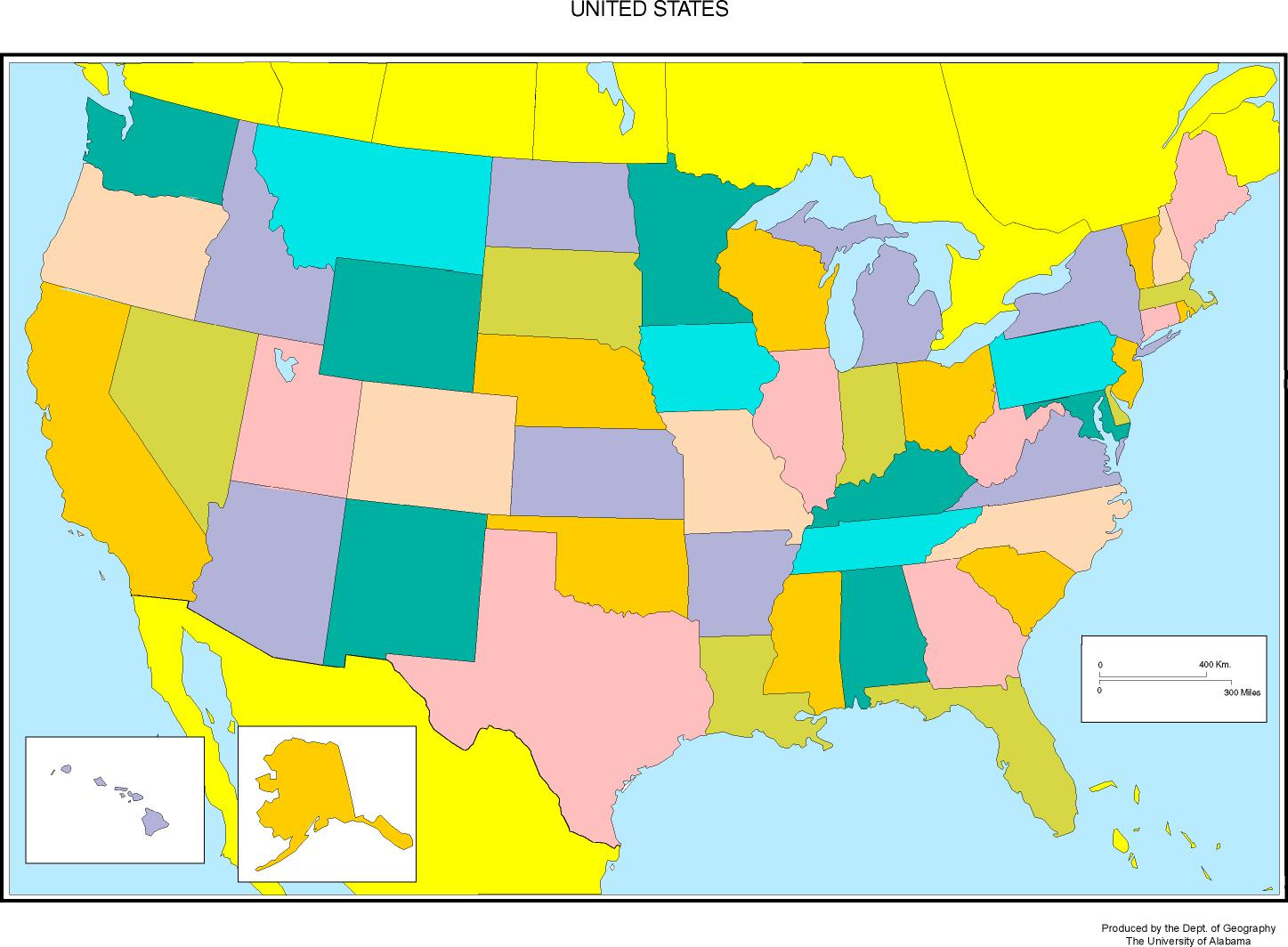
Interactive Map of USA Highlight States
United States Map Highlighting States In Different Colors Visualizing

United States Map Highlighting States in Different Colors Visualizing ...
USA Vector Map With Individual Colors For Each State, Isolated On
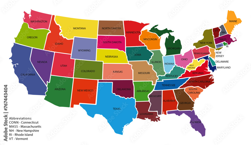
USA vector map with individual colors for each state, isolated on ...
Interactive Map Of USA Highlight States

Interactive Map of USA Highlight States
Can Highlight Individual States Map Usa

Can Highlight Individual States Map Usa
I've Now Visited All 49 Continental US States. Plus DC, PR, And USVI. I
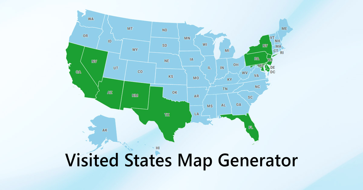
I've now visited all 49 continental US states. Plus DC, PR, and USVI. I ...
Free Highlightable Us Map Us Map States Only
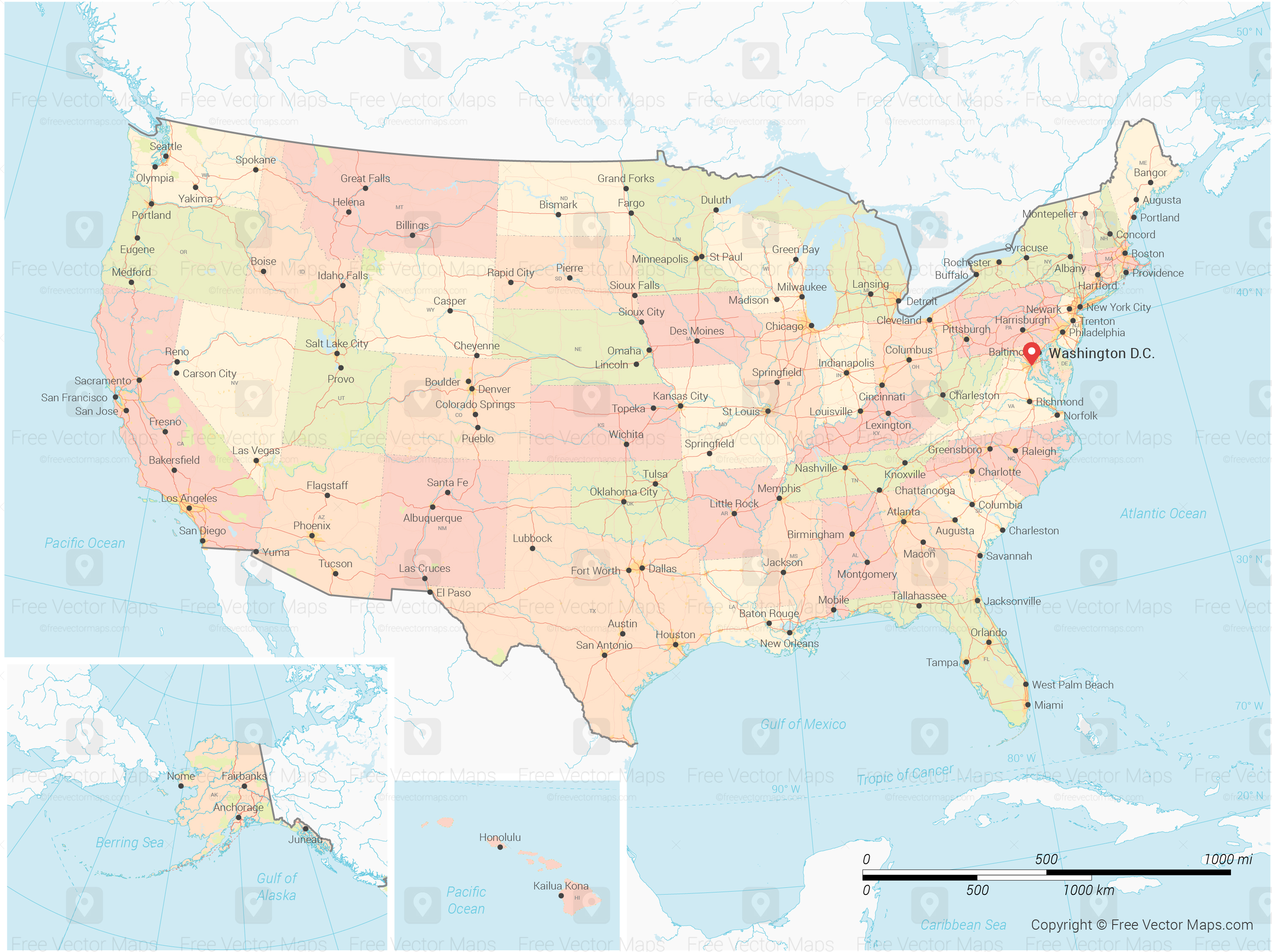
Free Highlightable Us Map Us Map States Only
Detailed Map Of The United States Highlighting Individual States Stock

Detailed Map of the United States Highlighting Individual States Stock ...
Free Highlightable Us Map Us Map States Only
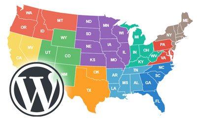
Free Highlightable Us Map Us Map States Only
A Map Of The United States With The States Highlighted In Blue 54767778

a map of the united states with the states highlighted in blue 54767778 ...
Colorful Map Of The United States Highlighting Each State's Unique Features
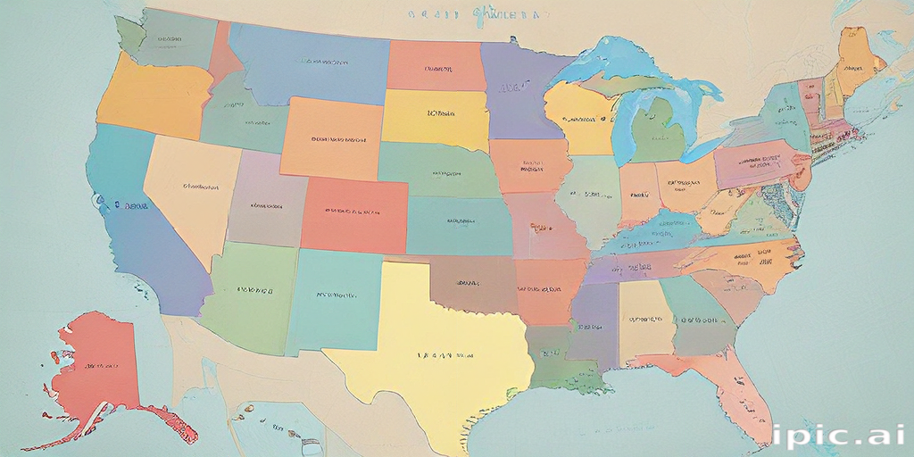
Colorful Map of the United States Highlighting Each State's Unique Features
