How Maps Shaped My Journey Through U.S. History
Ever since I was a kid tracing roads on a crayon-drawn map, I've felt that a map is more than a set of lines and symbols—it’s a living document that tells the story of a nation’s rise, fall, and rebirth. As a history buff and a wanderer, I’ve spent countless afternoons flipping through atlases and exploring GIS layers, discovering how maps have guided decisions, sparked revolutions, and even redirected entire populations. Below are the moments, I believe, when maps carved their indelible mark on U.S. history—and on my own sense of place.
1. The Lewis & Clark Expedition: Charting the Uncharted
When Meriwether Lewis and William Clark set out in 1804, the western United States was a blank canvas. I’m still amazed that their meticulously hand-drawn journals provided the first reliable maps of the Rockies, the Columbia Basin, and the Great Plains. These maps didn’t just show geography; they opened up the frontier, proving the land was accessible and safe for settlers, which in turn fueled westward expansion.
2. The Louisiana Purchase Map: Doubling the Nation
The 1803 Louisiana Purchase was a geopolitical coup, but it wasn’t until the accompanying maps that the sheer scale hit home. I remember staring at that double-sized map in my high school textbook and realizing the U.S. had just acquired territory larger than its existing size. That map was a visual declaration: the United States was not just a region but a continent poised for growth.
3. The Battle of Saratoga’s Tactical Maps: Turning the Tide of War
During the Revolutionary War, I was fascinated by the strategic maps used by General Burgoyne and the British. The maps that illustrated troop movements and terrain features helped commanders make real-time decisions. In my own research, I found that the success of the Continental Army at Saratoga hinged on accurately interpreting these maps, illustrating that even in early America, cartography was a battlefield weapon.
4. The Underground Railroad: Secret Cartographic Codes
I’ve always been intrigued by the secret codes used by Underground Railroad conductors. Some maps, disguised as ordinary travel guides, contained hidden routes to safe houses. Learning that these clandestine maps were written in ink, encoded with simple symbols, showed me that maps could be tools of resistance and hope, not just tools of empire.
5. The Gold Rush Map: Mining the American Dream
Picture this: a 19th-century map pinning every “hot spot” on the California coastline. My travels to California's historic gold towns began with these maps. They spurred millions to cross the country in search of fortune, reshaping the demographic and economic landscape. The maps were as much about promise as they were about geography.
6. The Homestead Act and the Land Office Maps: Claiming the Frontier
After the Civil War, the Homestead Act of 1862 used detailed land office maps to divide land into 160-acre plots for settlers. I visited a few of those old land office sites and saw the physical maps on the desks of agents who once processed thousands of claims. The act’s success and the resulting population shifts underscore how maps directed human settlement patterns.
7. The Transcontinental Railroad Survey: Linking Coasts
When John Wesley Powell and the railroad surveyors mapped the route from Omaha to San Francisco, they turned a sprawling map into a lifeline. As someone who loves trains, I appreciate that those maps were more than engineering tools—they were the blueprint that connected East and West, turning the U.S. into a single, integrated market.
8. The Great Depression Relief Maps: Rediscovering a Nation
During the 1930s, the Works Progress Administration produced maps showing the distribution of relief funds, unemployment rates, and new highways. In my research, these maps revealed how government intervention was visualized and communicated to the public, fostering a sense of shared responsibility during crisis.
9. The 1961 Freedom Rides Map: Mapping Civil Rights Progress
The maps used by civil rights activists during the Freedom Rides of 1961 charted bus routes, safe houses, and potential hot spots. I visited the National Civil Rights Museum, and the displayed maps felt alive, reminding me how cartography could be a strategic tool against injustice. It’s a powerful reminder that maps can guide not only armies but also movements for equality.
10. The 21st Century GIS: Mapping Climate, Health, and Pandemic Response
Today, geographic information systems (GIS) map everything from COVID-19 infection rates to wildfire risks. As a citizen, I can see how these digital maps influence policy decisions and everyday life. My recent trip to the National Oceanic and Atmospheric Administration’s dashboard felt like stepping into a future where maps not only show but also predict.
USA Maps

USA Maps
USA Maps

USA Maps
Historic Us Maps For Sale
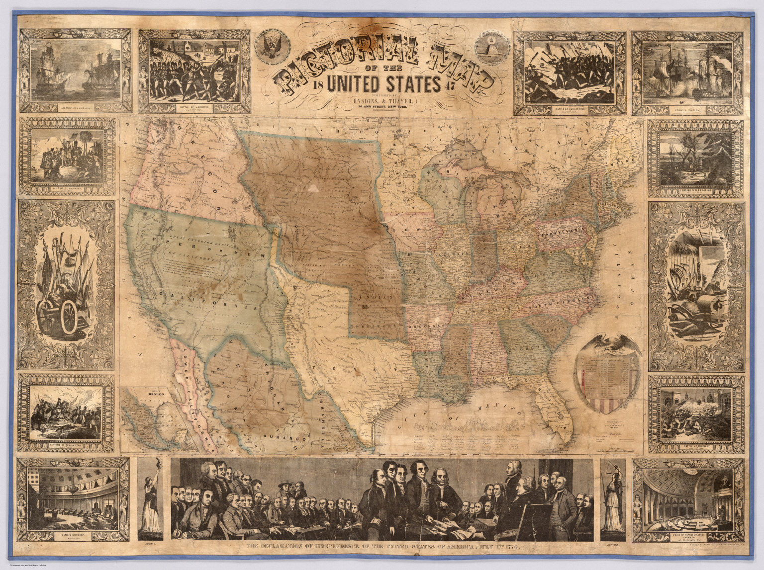
Historic Us Maps For Sale
USA Maps

USA Maps
GIS & Maps - History - LibGuides At California State University, Fullerton

GIS & Maps - History - LibGuides at California State University, Fullerton
Map Of America With History _ Historical Maps Of The United States And

Map Of America With History _ Historical Maps of the United States and ...
World Maps Library - Complete Resources: Maps History
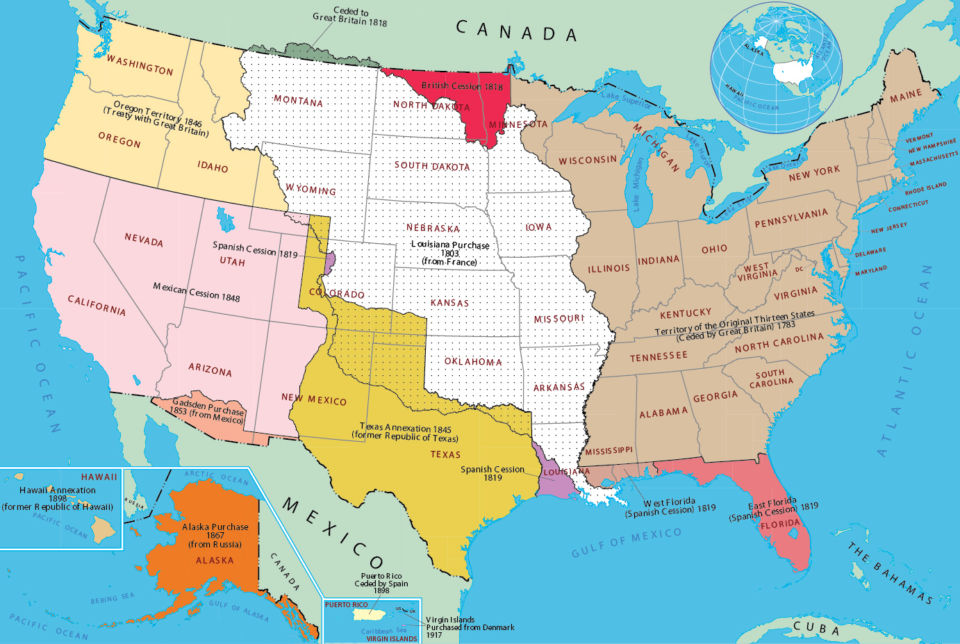
World Maps Library - Complete Resources: Maps History
25 Maps That Tell The Entire History Of The United States | Historical

25 Maps That Tell The Entire History Of The United States | Historical ...
Us Historical Maps , Historical Maps Of The United States – IZBHYU
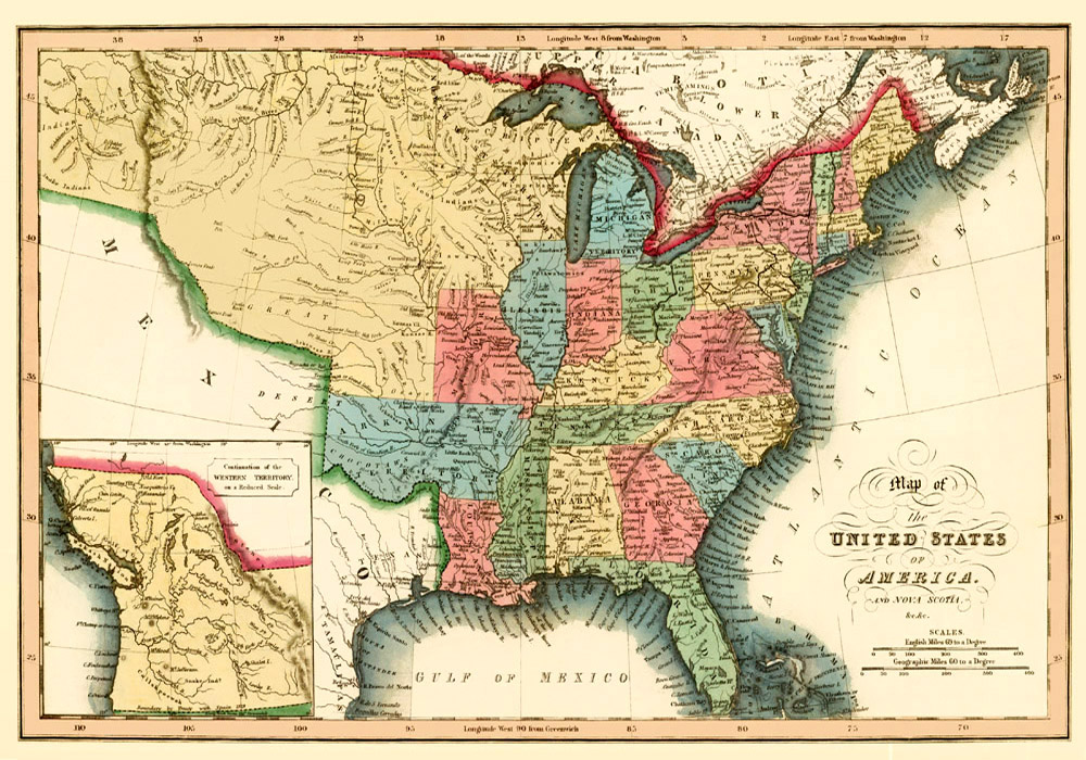
Us Historical Maps , Historical Maps of the United States – IZBHYU
Map Of Usa History , Category : Maps Of The History Of The United

Map Of Usa History , Category : Maps of the history of the United ...
USA Maps

USA Maps
